- Sport
Mountain bike trail n°55 - Rochebrune
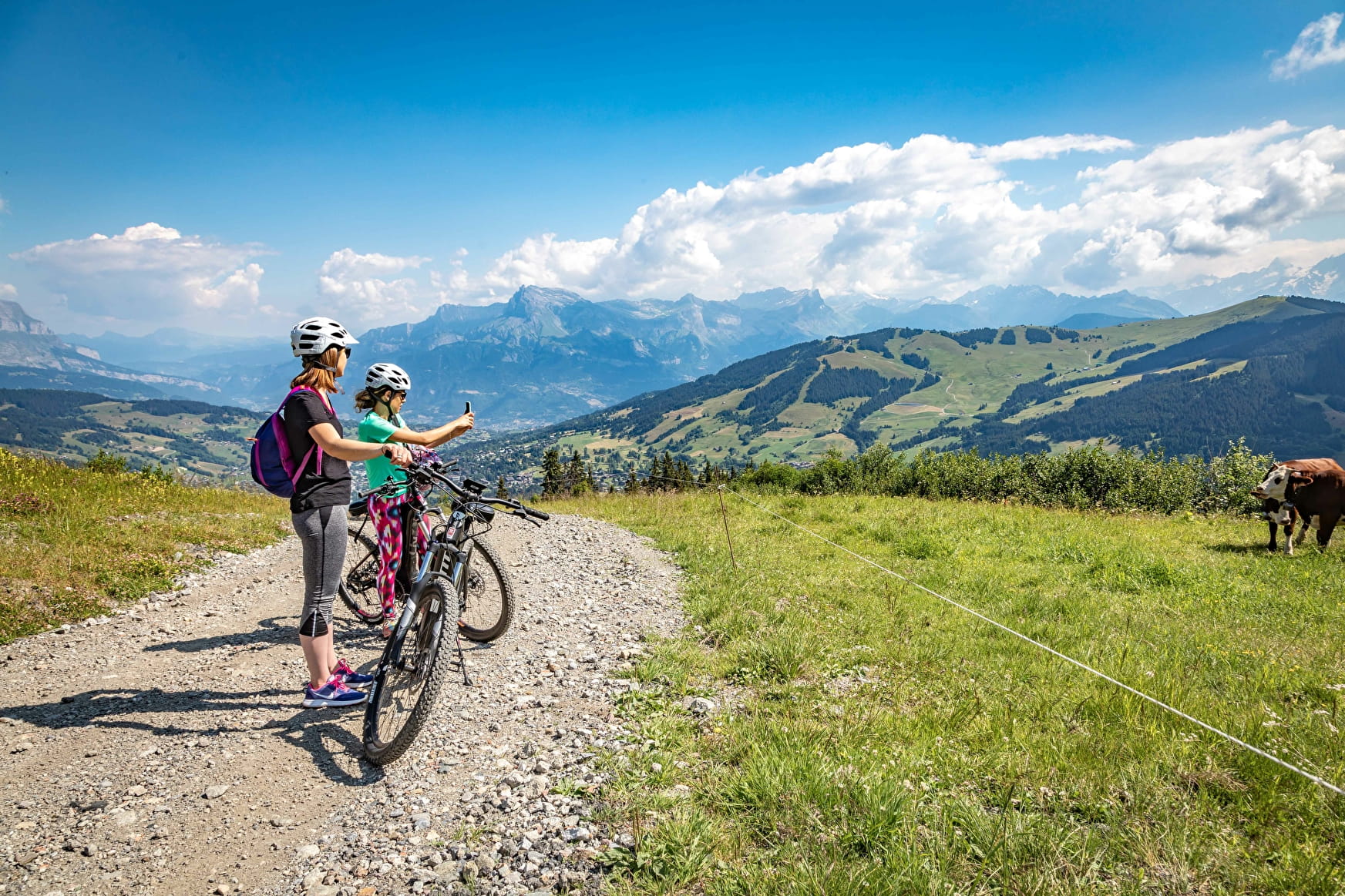
Very difficult itinerary. Black markings.
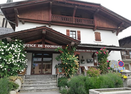
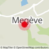
Departure point from the Megève Tourist Office in the direction of the hamlet of the Tour, the lake of Javen and the restaurant "Sur les Prés" then arrival at the summit of the Rochebrune cable car.
About

Signs
Find out beforehand about the markings.
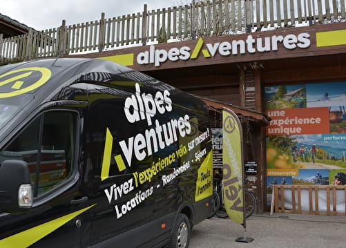
Further informations
Ground, Hard coating (tar, cement, flooring)


Prices
Free access. "Carte des itinéraires VTT au Pays du Mont Blanc", at Megève Tourisme.
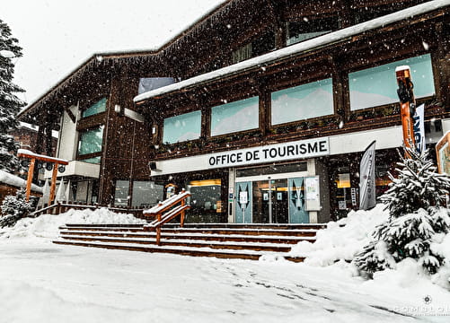
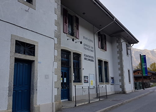
Reception
Mountain biking friends, please respect the local fauna and flora; please stay on the signposted tracks!
For your own safety, we advise that you wear a helmet.
Make sure your bike has been appropriately serviced (by a professional) before starting your ride.
Don’t forget to take a bottle of water, a snack and some suncream in your backpack!
Please be polite towards, and respect, other bikers and walkers.
When overtaking, please be considerate and alert others of your presence. Please take care when overtaking any walkers; consider stopping and pushing your bike past them, or riding slowly.
Period of practice
From 01/06 to 30/09.
Subject to favorable weather.
- Pets welcome
Contacts
Access
Except on protected passages, walking is forbidden on the ski slopes.