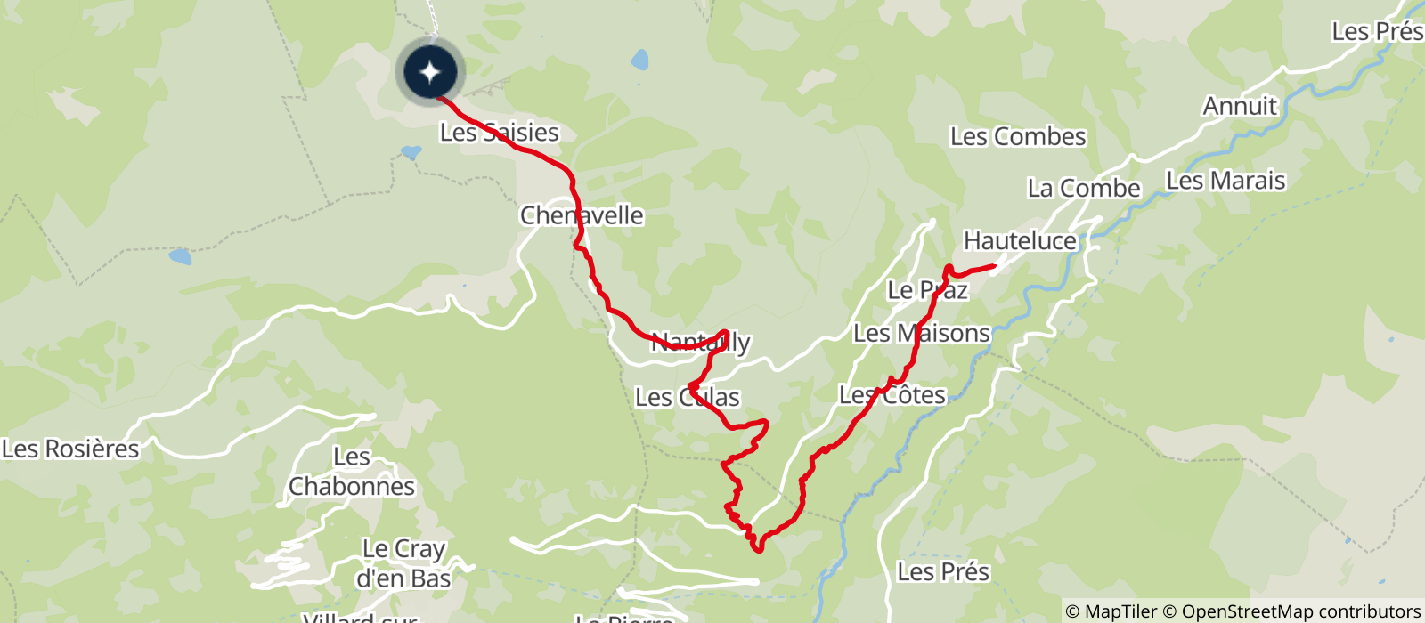
First part only on alpine track and road. Second part on a technical path descending then on a balcony on the old rural road linking Beaufort to Hauteluce. Return to the starting point by free shuttle. You will evolve near pastures, stay on the trails, and respect the work of the mountaineers.
- Sport
Cross country MTB - Plan des Loups
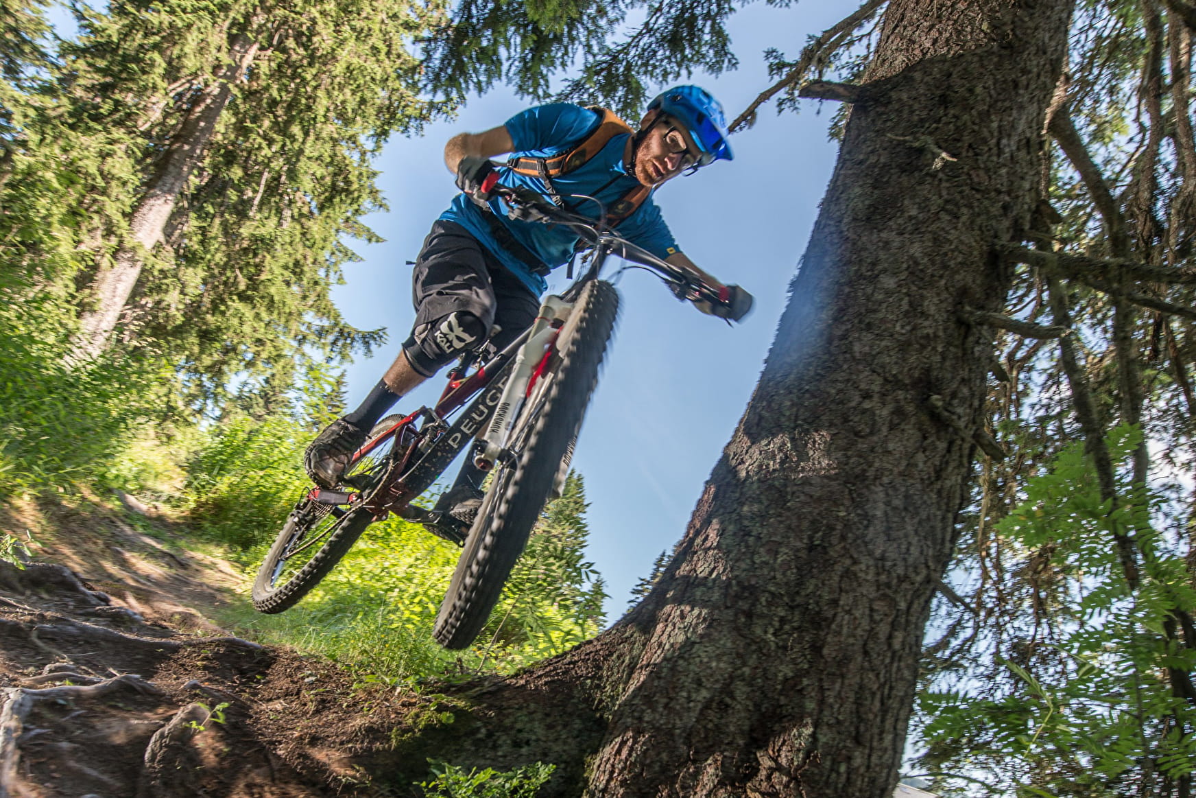
Descending route on the southern slope of Les Saisies to reach the picturesque village of Hauteluce.
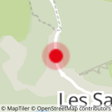
Sport Cross country MTB - Plan des Loups Les Saisies
About
Topoguides references
Topo "MTB routes in Beaufortain", on sale at the Beaufortain Tourist Offices and in the "Au Vieux Camper" shop in Albertville.
Prices
Free of charge.
Period of practice
From 01/06 to 30/09.
Contacts
Access
Departure: Aquasportif center Le Signal aux Saisies. Arrival: Hauteluce, capital city. Possibility of return by free shuttle in July / August.


