From the Arrondaz alpine pasture, the path quickly narrows and becomes challenging. The view over the Thabor sector is absolutely beautiful. A word of advice: stop here to admire the scenery and gather your strength as you'll need perfect balance to negotiate the path to come. It ends with a gentle track, unless you spice things up by opting for the Valdingue XC itinerary (left bank of the Charmaix).
The name "Déjantée" means "crazy" but can also refer to a wheel that has lost its its tyre. We hope neither will be the case, despite the stones along the trail!
Departs from: top of Arrondaz gondola lift.
32- Enduro - Red - La déjantée
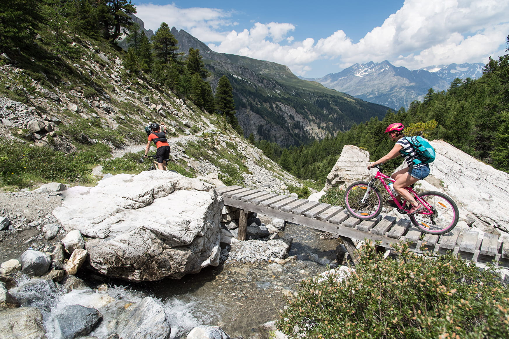
A magnificent overview of the area on the only Enduro trail in Valfréjus!
32- Enduro - Red - La déjantée Valfréjus
About

Map references
Haute Maurienne Vanoise mountain bike map sold in the Tourist Offices
Topoguides references
Haute Maurienne Vanoise mountain bike booklet sold in the Tourist Offices
1 1

Prices
Free access. Take a ticket for the gondola.
Period of practice
From 01/07 to 01/10.
Subject to favorable snow and weather conditions.
Contacts
Access
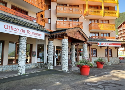
By car, park in the car park near the Valfréjus Tourist Office.