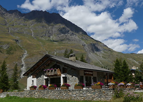
The Avérole valley is home to a few of the typical Haute Maurienne farming villages that are still intact (La Goulaz, Vincendières and Avérole). This itinerary presents no major difficulty as it climbs gently to the end of the valley. You can even extend your trip up to the Averole refuge, which is open and guarded during the summer. Seasoned mountain-bikers can make the extra climb in the saddle, while others may have to walk. The decor promises waterfalls, glaciers and high peaks.
- Sport
Cross-country : Vallée d'Avérole Variante
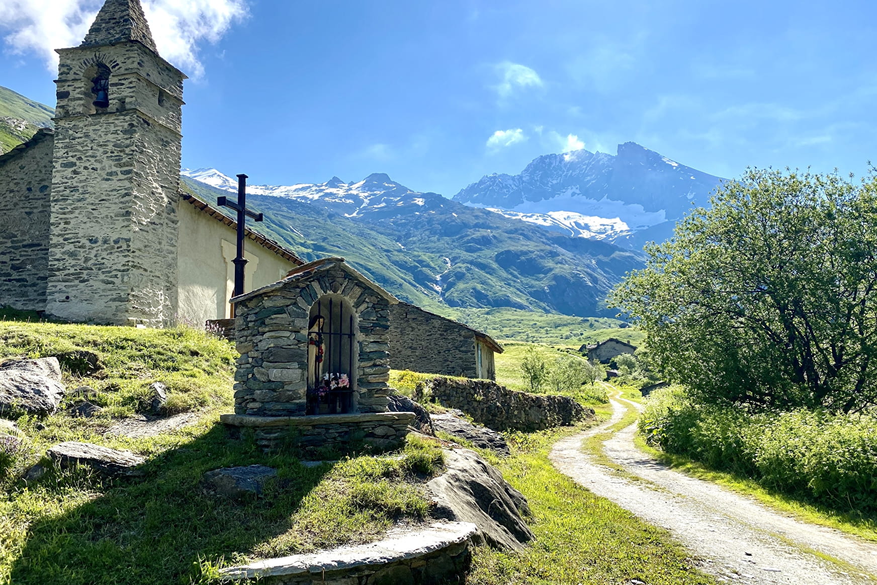
How amazing, to find yourself in such high mountains with such little effort, enjoying a beautiful view of the suspended Charbonnel glacier.
Sport Cross-country : Vallée d'Avérole Variante Bessans
About

Signs
French Cycling Federation markings (cross-country)
Difficult passages
The climb to the foot of the refuge is long but very easy. No technical difficulty on the classic route. The black level variant is very technical with trialling passages and calls to the void. It is intended for good pilots only. Once you have started, there is no way out. Be careful if you do not have the required level for this passage, you will be obliged to carry and/or push your bike for several hundred metres
Topoguides references
Haute Maurienne Vanoise mountain bike map and booklet sold for €4 in Tourist Offices.
Further informations
Stone, Ground, Grit
Prices
Free access.
Reception
Period of practice
From 01/06 to 15/10.
Subject to favorable snow and weather conditions.
Services
- Pets welcome
- Parking nearby
Contacts
Access
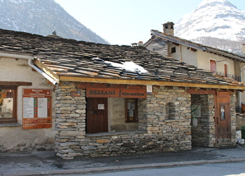
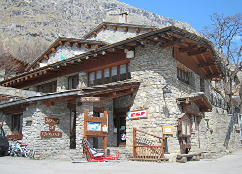
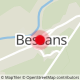
The start of the route is on the Place de la Mairie in Bessans.
I'll get there by bus: Line S53 - Mairie / La Poste stop (in summer, the bus is equipped with a bicycle trailer - ask about days and times).
By car: park in the parking lot in front of the town hall.