This route is taken counter-clockwise.
After leaving from the Flumet Tourist Office, descend towards the PLAN D'EAU then take the PONT DE CHAUCISSE, LA LANDELIÈRE, LE PRAZ, and the VILLAGE of St Nicolas la Chapelle. From there, descent towards BÉTHIERS, LA POULIÈRE, LA ROUTE DEPARTEMENTALE, before going up towards LE PONT DES MOTTETS, LES COMBES, LA COMBE SOUS LES PILES, CHEMIN DE LA COTTUAZ, and arrive at the VILLAGE of Crest-Voland. Again a descent on LE BOSTU, ON NANT ROUGE, LES NANTETS and continue towards the village of Notre Dame de Bellecombe by LA COUR, CHURCH OF BELLECOMBE, LA SCIERIE. End of the loop downhill via LA GERMANDIÈRE, CHURCH, CHEMIN DE L'ÉGLISE and return to the Tourist Office.
- Sport
Le Char
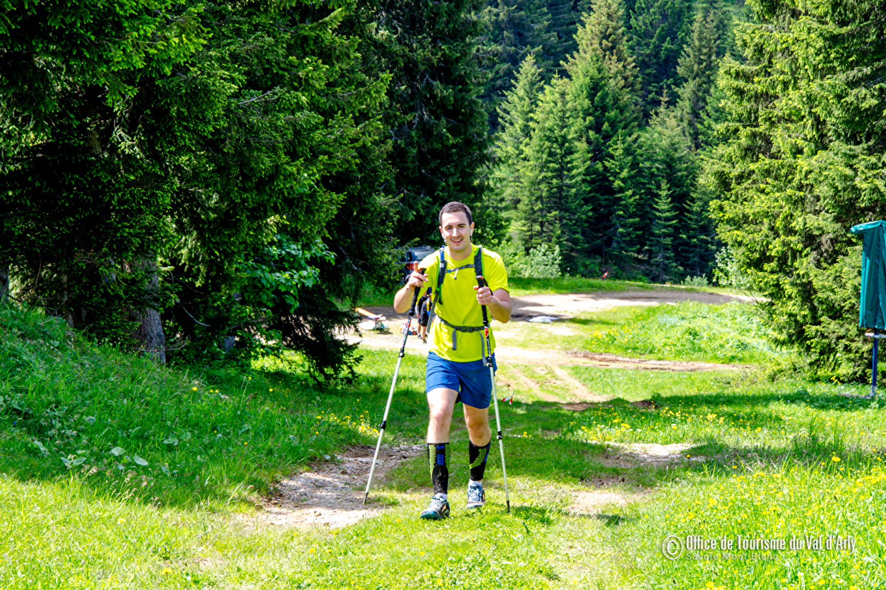
This course will make you discover the heights of Flumet in beginner version! Get started!
Sport Le Char Flumet
About
Prices
Free access.
Reception
Duration: between 0h25 and 0h50.
Pets allowed on a leash only.
Period of practice
From 01/06 to 31/10.
Services
- Pets welcome
Contacts
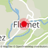
Access
Start of the itinerary at the Tourist Office. Parking available next to the office.
