ts large expanses of high-altitude mountain pastures are populated by herds in summer, and in winter are adorned with a beautiful coat of snow to transform into ski slopes. The Pointe de l’Ouillon peaks at an altitude of 2,431 meters and offers a 360° panorama of Oisans and the Vanoise National Park.
The La Toussuire area, an integral part of the vast “Sybelles” ski area, extends to the foot of the Ouillon.
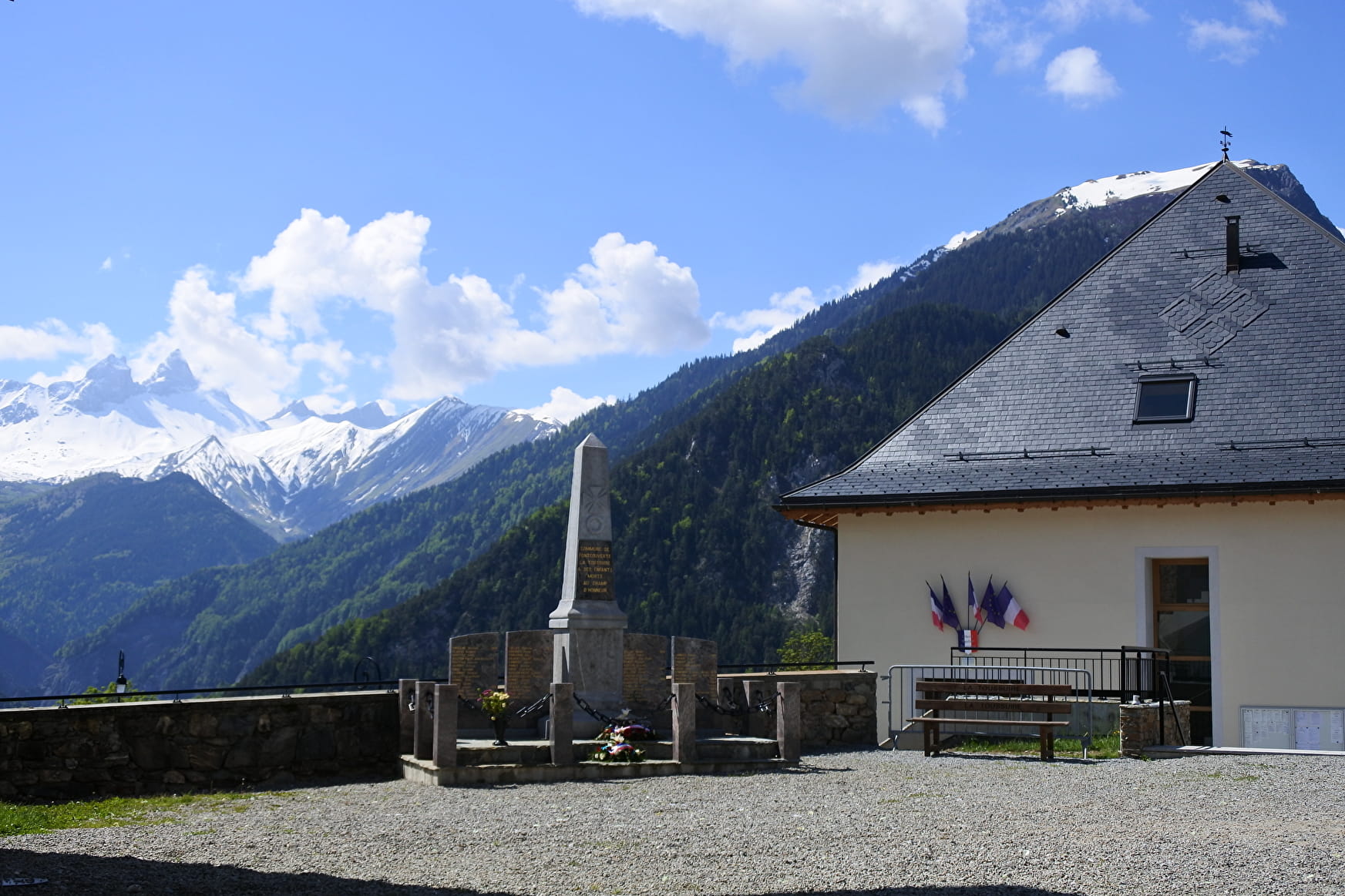
The capital, located at an altitude of 1180 m, on the cultural circuit “Les Chemins du Baroque” occupies a very favorable position and has two listed religious buildings, witnesses of this style. It is here that you will find the town hall, with an exhibition room hosting a permanent photographic exhibition created by Pierre Desmazières “Fontcouverte d’hier et jour”. Temporary exhibitions are organized regularly.
You can also find a Cromlech there, a vestige of the Neolithic era: under the chapel of the hamlet of Villards, a semi-circle appears made up of twelve large standing and semi-buried stones. Oriented towards the rising sun, this imposing monument seems to have had the function of a sundial or a calendar.
Mayor: Bernard COVAREL
- Historic site and monument
Fontcouverte-La Toussuire
Fontcouverte-La Toussuire is made up of 16 hamlets which line the road from the hamlet of Plan des Rois to the La Toussuire station.
About
1 5


Reception
Contacts
Access
Area: 1936 ha
Population: 552 inhabitants
Altitude: 650 m to 2620 m.
Villagers: Les Fontcouvertins
Distance from main town: 10 km for Foncouverte and 17 km for Toussuire


