Snowshoe route n°7: La Pierre – Bon Mollard
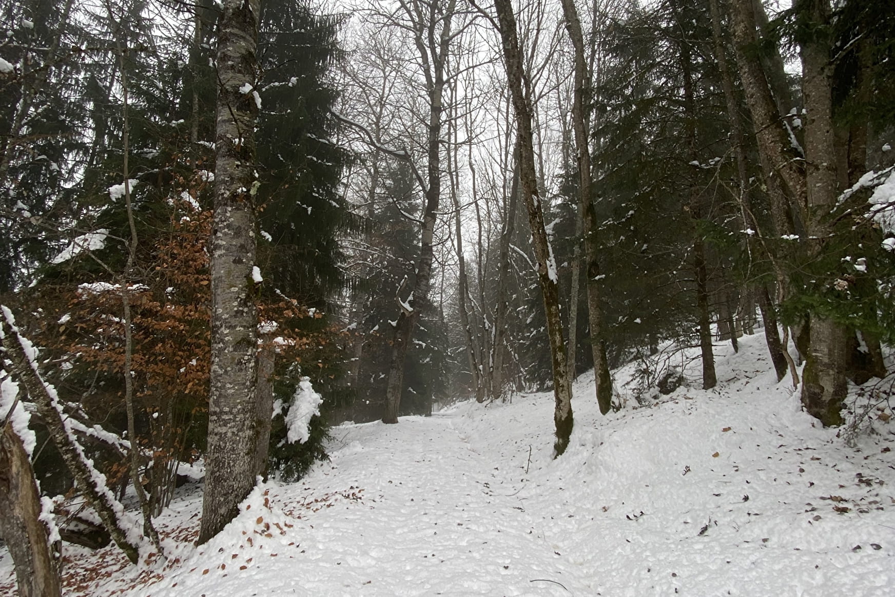
An “Easy” walk nearby, allowing the discovery of the Pierre forest.
Description: From the Goélia residence "Les chalets de Belledonne", take the path above the large bend. On the left, this leads to the platform of an agricultural shed. The path turns right and continues on a wide track lined with trees. The circuit crosses a meadow, then sinks into the spruce wood. After a kilometer in the forest, the circuit leaves the main path and loops downhill and returns in the direction of the return through the woods. The path comes out of the wood in a small meadow, and goes up to join the path of departure. Then return flat to the agricultural platform of the start, and return to the Goelia residence.
- Sport
Snowshoe route: La Pierre – Bon Mollard
Map of walking and snowshoeing routes available for download on this page and from the Espace Glandon Tourist Office.
About
1 1

Prices
Free access.
Reception
Period of practice
From 02/12 to 14/05.
Equipments
- Parking
Contacts
Access

