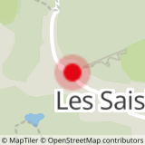
Accessibility: shuttle bus - stop Le Signal
Departure: to the right of the Mountain Twister
- Sport
03 - Chemin panoramique des Crêtes
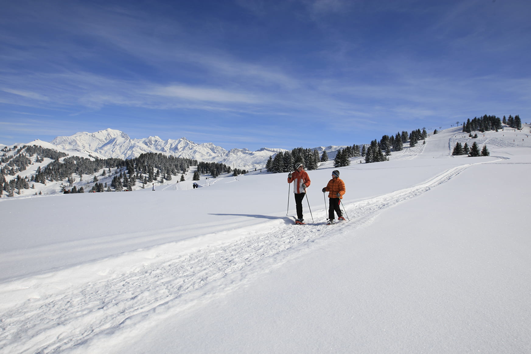
On the ridge, discover the Hauteluce valley and the Beaufortain valley with its numerous dams.
Sport 03 - Chemin panoramique des Crêtes Les Saisies
About
Contacts
Access
