A corner of nature just a stone's throw from the village centre, this flat out-and-back walk will be perfect for an introductory walk between forests and streams.
This beautiful trail, accessible to all, will take you on a discovery of a place steeped in history, with its old chalets and magnificent chapel built in the 17th century. A change of scenery guaranteed.
- Sport
The Prés Plans valley
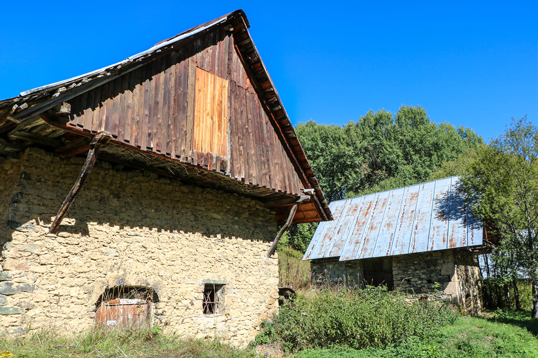
Head for the hamlet of Près Plans for a family nature getaway to discover an ancient hamlet with its dwellings and chapel.
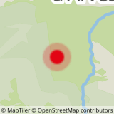
Sport The Prés Plans valley Saint-Sorlin-d'Arves
About

Further informations
Ground
1 4


From the car park at the end of the tarmac road, take the wide dirt track that leads to the Croix de la Troche.
1 km after the cross, you'll come to the hamlet of Les Prés Plans, with its sumptuous 17th-century chapel of Notre Dame de la Vie.
The valley widens after the hamlet to form a large green plateau dotted with old mountain chalets.
The road ends at the 2 bridges, where you'll find a signpost, and you can retrace your steps to return.
You can also set off from the Plan du Moulin car park, passing through Les Vachers to reach the Prés Plans path.
Reception
Period of practice
From 01/05 to 15/11/13 : open daily.
Services
- Pets welcome
- Picnic area


