DEPARTURE: Flumet Tourist Office / St Nicolas la Chapelle.
ROUTE: From the Tourist Office, go up Rue du Mont-Blanc to ÉGLISE. Continue straight ahead towards CHÂTELET then PONTETS MORETTES (short steep climb to this place). Continue a few meters on the panoramic road and turn left on the balcony until the PETIT BIOLLAY. From there, go up on the left towards LE BIOLLAY. Then return to LA TOUVIERE. Back to the BIOLLAY, turn right on the communal road to FRÉNEY and LES PONTETS MORETTES. Turn right and take the road then the track to join the CHAR. Go down the path to the left to reach the village then the Tourist Office.
POINTS OF INTEREST:
- Many views of the Val d'Arly
- The "bell-tower", old tower of the wall of the city.
- Sport
The slopes of Flumet
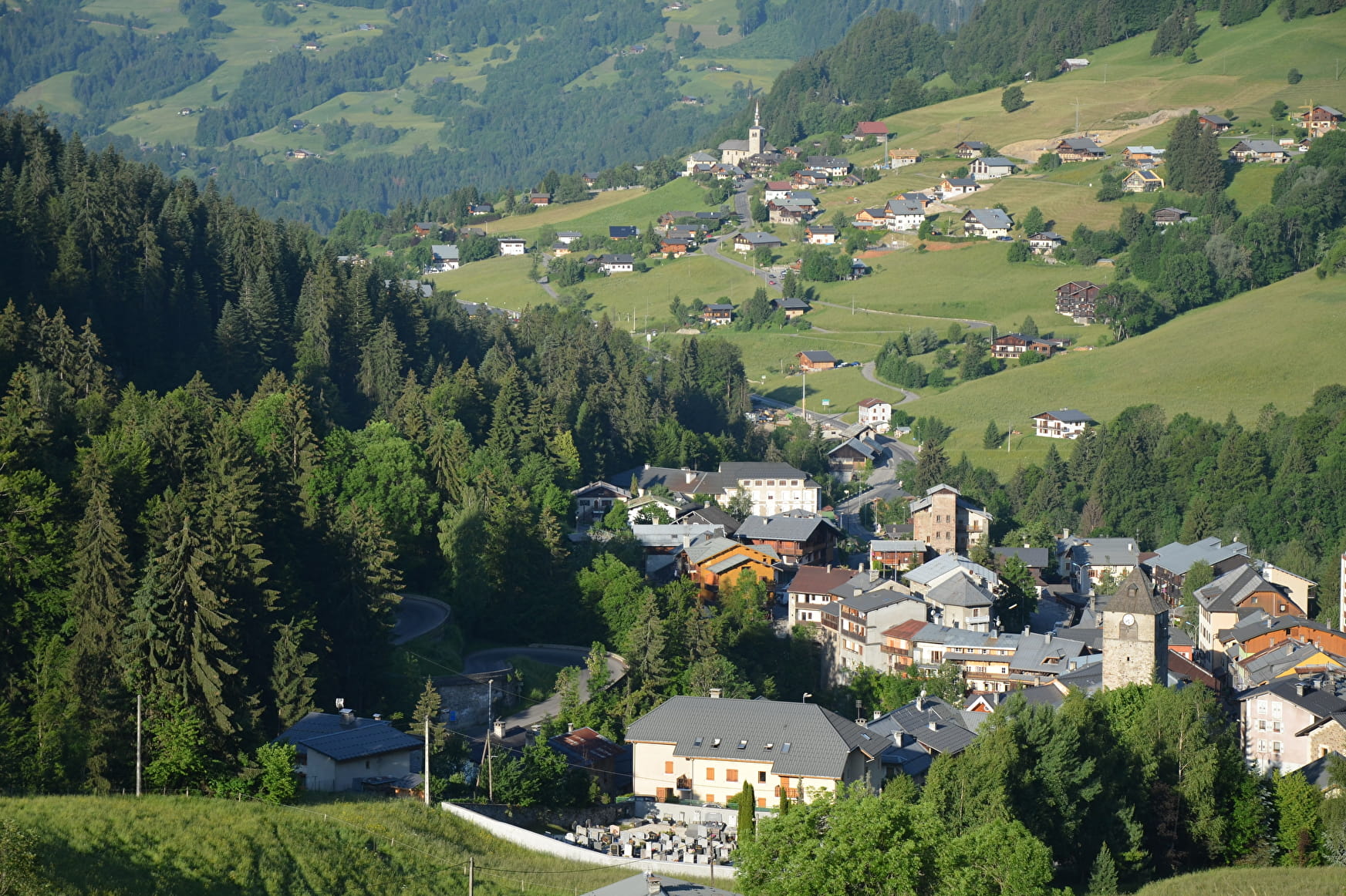
Discover the heights of Flumet with its many farms, under the eye of Mont Blanc.
Sport The slopes of Flumet Flumet
About

Signs
Marked with yellow signs.
Map references
Walking and hiking map of the Val d'Arly for sale at 9 € or Topo Walks and Short hikes on sale at € 4 in the tourist offices.
Prices
Walking and hiking map of the Val d'Arly for sale at 9 € or Topo Walks and Short hikes on sale at € 4 in the tourist offices.
Methods of payment accepted : Check, Cash, Bank/credit card
Reception
Dogs must be on a leash.
Period of practice
From 01/06 to 30/09.
Services
- Pets welcome
Contacts
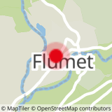
Access
Departure of the route on the parking of the Office of Tourism.