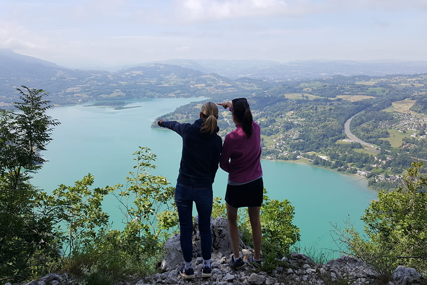
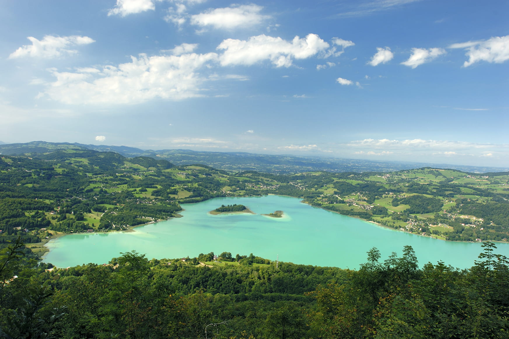
Lake Aiguebelette’s calm and pure waters are much appreciated by bathers, fishermen and rowers.From the cemetery, the path goes up through the woods to the Grotte de Conche (cave and spring). Above the “grotte”, the path becomes steep, narrow and difficult, as it follows the edge of a cliff to join the “Balcons du lac” trail (1hr). This relatively flat track was built to serve the area’s charcoal-burning kilns. The path then goes back down to Les Logers, and then to Les Gustins. Follow the road for 400 m, then turn right onto the track that joins the minor road beside the lake, which is followed to its northernmost tip. Go under the A43 to get back to Nances via the Grotte de Loup. Type of itinerary: circuit. Maps : IGN Top 25 n° 3332 OT Chambéry .
- Sport
The Lake Aiguebelette Balcony Route
Savoie Mont Blanc's choice
This airy route across the western flank of the Montagne de l'Epine overlooks France’s third largest natural lake, providing numerous vantage points from which to admire the 70 hectares of wetlands surrounding the lake.
Sport The Lake Aiguebelette Balcony Route Nances
About

Map references
TOP 25 IGN - 3332 OT - Chambéry, Aix-les-Bains, Lac du Bourget Hiking map of the Pays du Lac d'Aiguebelette (€3, available at the Tourist Office, at the Maison du Lac)
Topoguides references
Guide Les Balcons du lac A2 (Hiking map of the Pays du Lac d'Aiguebelette, available at the Tourist Office, at the Maison du Lac).
1 3


Reception
Period of practice
From 15/04 to 31/10.
Services
- Pets welcome
Contacts
Access
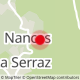
From Chambéry, take the A43 motorway towards Lyon to junction n°12 Aiguebelette. At the roundabout, turn right, and then right again to follow the road to Nances. Park next to the cemetery in Nances.