
50 m upstream from the residence des Amis: les pierres de Seri (large boulders on the meadows), a path that climbs towards le Frenet. At the next crossroads, turn right to the Dou du Sé cross. (bench). 2 options:
- go up 100 m and join the pastoral track which goes south towards the hamlet of Pracompuet, then La Chenarie.
- At the foot of the slope, take the path on the right that goes back to Nancroix, cross the whole village and reach the stones of Seri and the starting point.
- Sport
The hazelnut trail (loop)
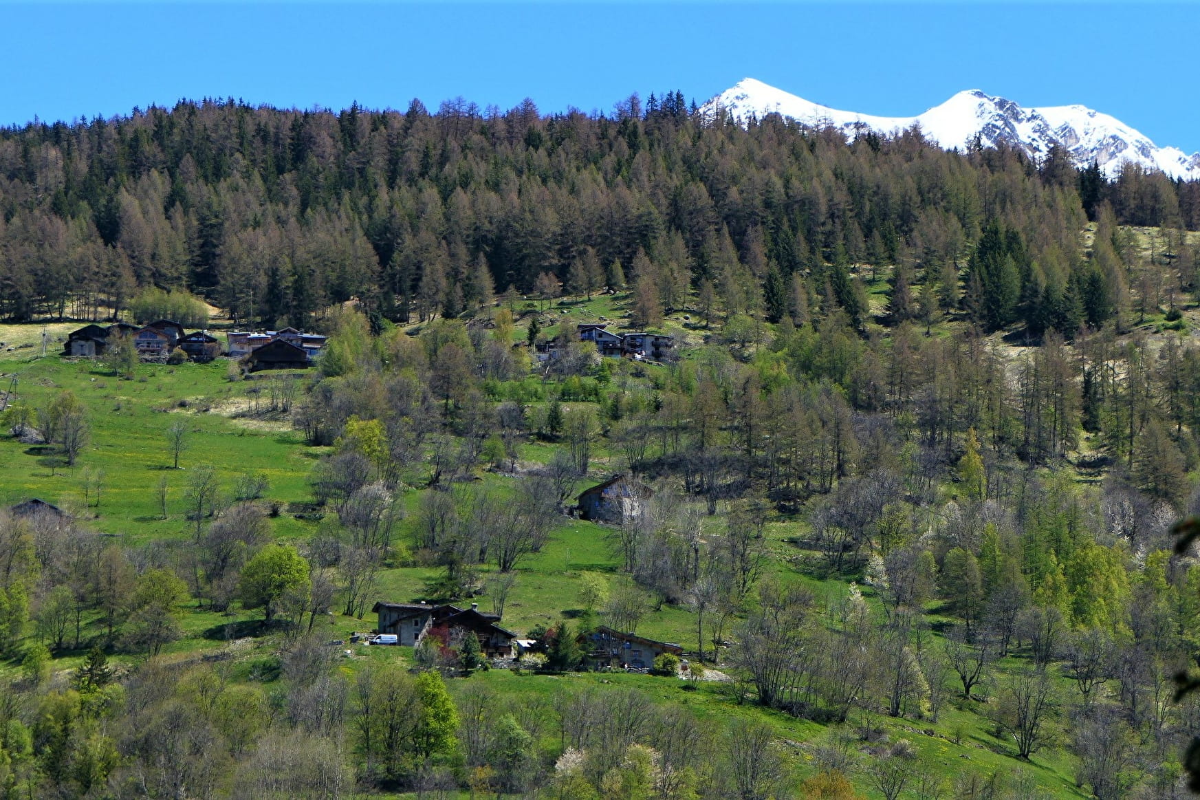
Uphill section: old path with low dry stone walls in the hazelnut trees. Nice panoramic view of the villages
Sport The hazelnut trail (loop) Peisey-Vallandry
About

1 12


50 m upstream from the residence des Amis: les pierres de Seri (large boulders on the meadows), a path that climbs towards le Frenet. At the next crossroads, turn right to the Dou du Sé cross. (bench). 2 options:
- go up 100 m and join the pastoral track which goes south towards the hamlet of Pracompuet, then La Chenarie.
- At the foot of the slope, take the path on the right that goes back to Nancroix, cross the whole village and reach the stones of Seri and the starting point.
Prices
Free of charge.
Reception
Period of practice
From 01/01 to 31/12.
Services
- Pets welcome
Contacts
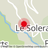
Access
Go to the Moulin chapel to start the walk.
Parking can be done before or after the chapel


