Don't miss out on the generous flora along the way, and you may be lucky enough to spot roe deer or chamois at the bend in the path.
A 360° panorama awaits you from the top of the Pointe de la Gay, with breathtaking views of Mont Blanc, the Roc d'Enfer and all the surrounding peaks.
- Sport
Hiking: Crêtes de Seytroux grand tour
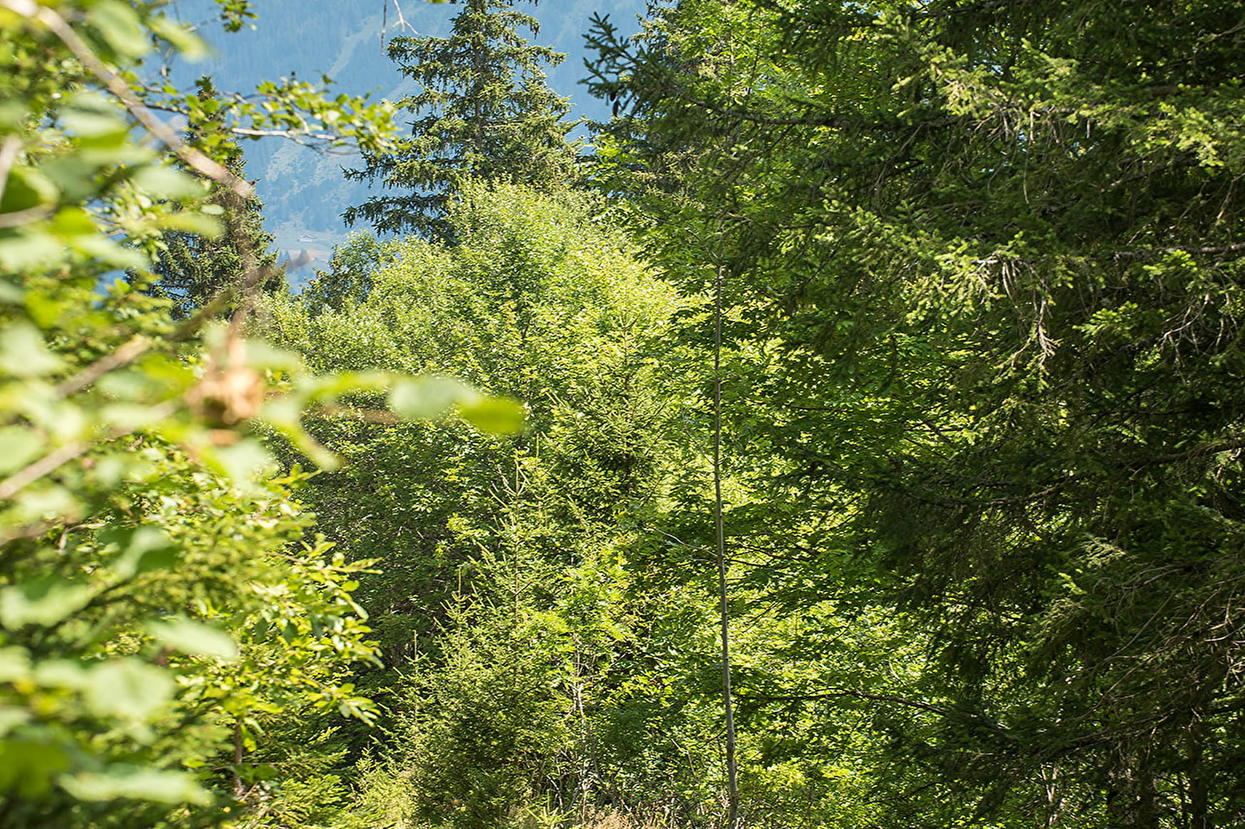
Whether you're an experienced hiker or simply looking for a nature break, the Crêtes de Seytroux grand tour promises an unforgettable adventure in the heart of the Vallée d'Aulps' mountain pastures and forests.
Sport Hiking: Crêtes de Seytroux grand tour Seytroux
About

Signs
Beige panels with black lettering and green arrows
Difficult passages
Some tricky sections equipped with a chain in the forest on the way back to Les Frasses.
Map references
Map: IGN Top 25, 3528 ET, Morzine
Further informations
Stone, Grit, Ground
1 7


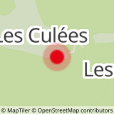
1/ Start from the Culées parking
2/ Take the forest track towards the Col de la Balme, which leads to I'Avanchereau.
3/ Follow the path to the right towards the Col de la Balme, taking the small wooden bridge, which is very useful for avoiding getting your feet wet.
4/ At the Col de la Balme, take the path on the left towards the Col de la Lanche
5/ At the Col de la Lanche, continue towards the Pointe de la Gay
6/ Pass through Les Profanfas and take the ridge leading to the summit of Pointe de la Gay at an altitude of 1801m.
7/ Follow the ridge to the Col des Chavannes before descending to the chalets of the Alpage des Chavannes.
8/ Take the forest track towards Les Culées, then at the sign indicating "altitude 1450m", turn right towards Les Culées through the forest.
9/ Descend the grassy path then switch to the forest (some tricky sections with chains)
10/ Rejoin the forest track then descend to the Les Culées parking
Prices
Free access.
Reception
- Choose your route according to your physical condition and the weather conditions.
- Follow the instructions for signposting.
- Don't set off too late in the afternoon, to make sure you're back before dark.
- Take sufficient food and water with you. Mountain sports require a lot of energy.
Dogs must be kept on a leash due to the presence of herds
Period of practice
From 05/01 to 10/31 : open daily.
Services
- Pets welcome
- Car park
- Free car park
Contacts
Access
Departure from the Culées parking lot in Seytroux
Access by car from Thonon or Cluses via the D902 then the D294 or D193 towards the village of Seytroux.
- At the roundabout in front of the Kern restaurant, turn right over the bridge, then right again towards Les Crêts and Malahutaz.
- Climb for several kilometres until you reach the forest track.
- Continue along the track to the Les Culées car park.


