- Sport
Sentier historique Tom Morel
Savoie Mont Blanc's choice
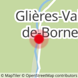
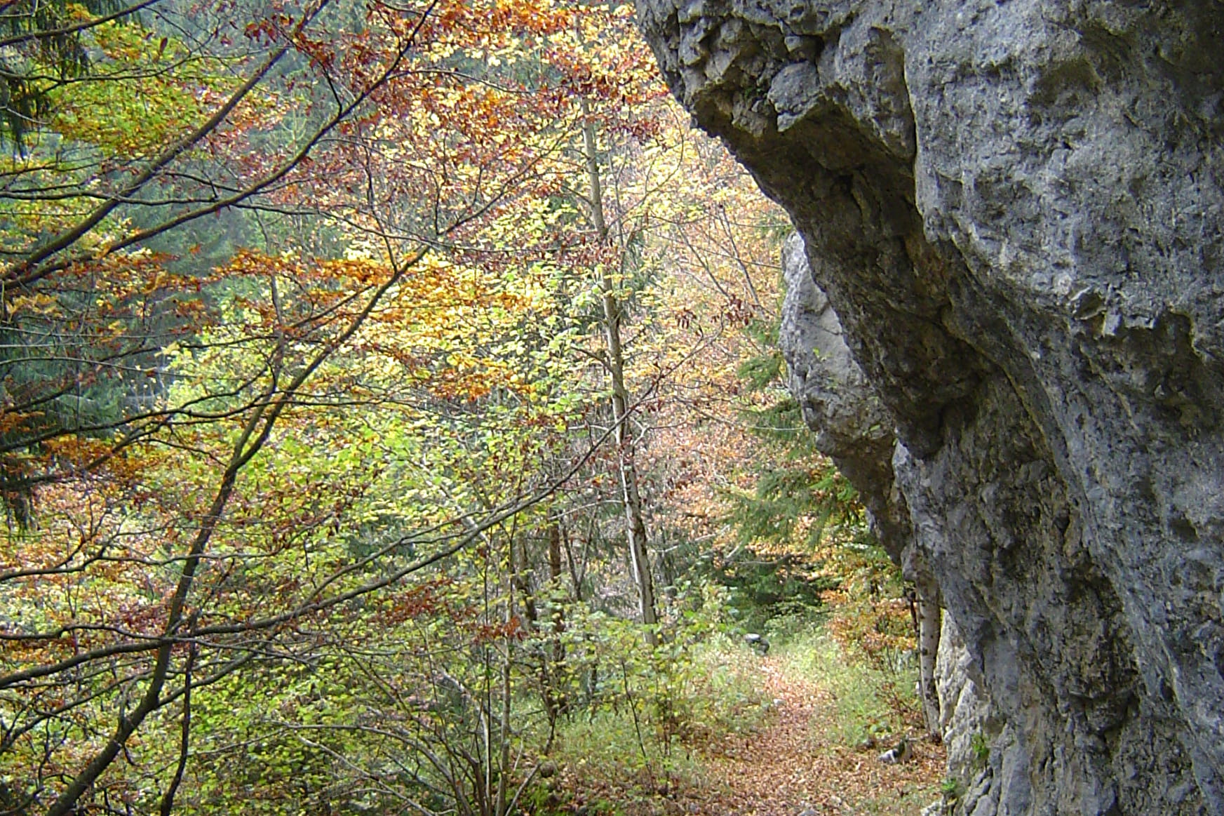
Sport Sentier historique Tom Morel Glières-Val-de-Borne
About

1 3


Prices
Free access.
Reception
Period of practice
Throughout the year : open daily.
Services
- Pets welcome


