- Sport
Sentier de randonnée pédestre - Col du Perret
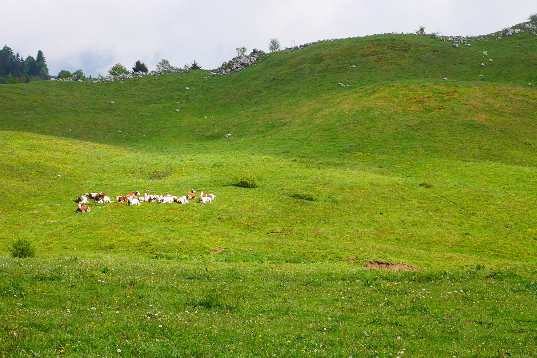
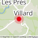
Sport Sentier de randonnée pédestre - Col du Perret Bogève
About

Further informations
Ground
Prices
Free entry.
Reception
Period of practice
All year round.
Services
- Pets welcome
Ground
Free entry.
All year round.