- Sport
Randonnée pédestre : montagne du Charbon
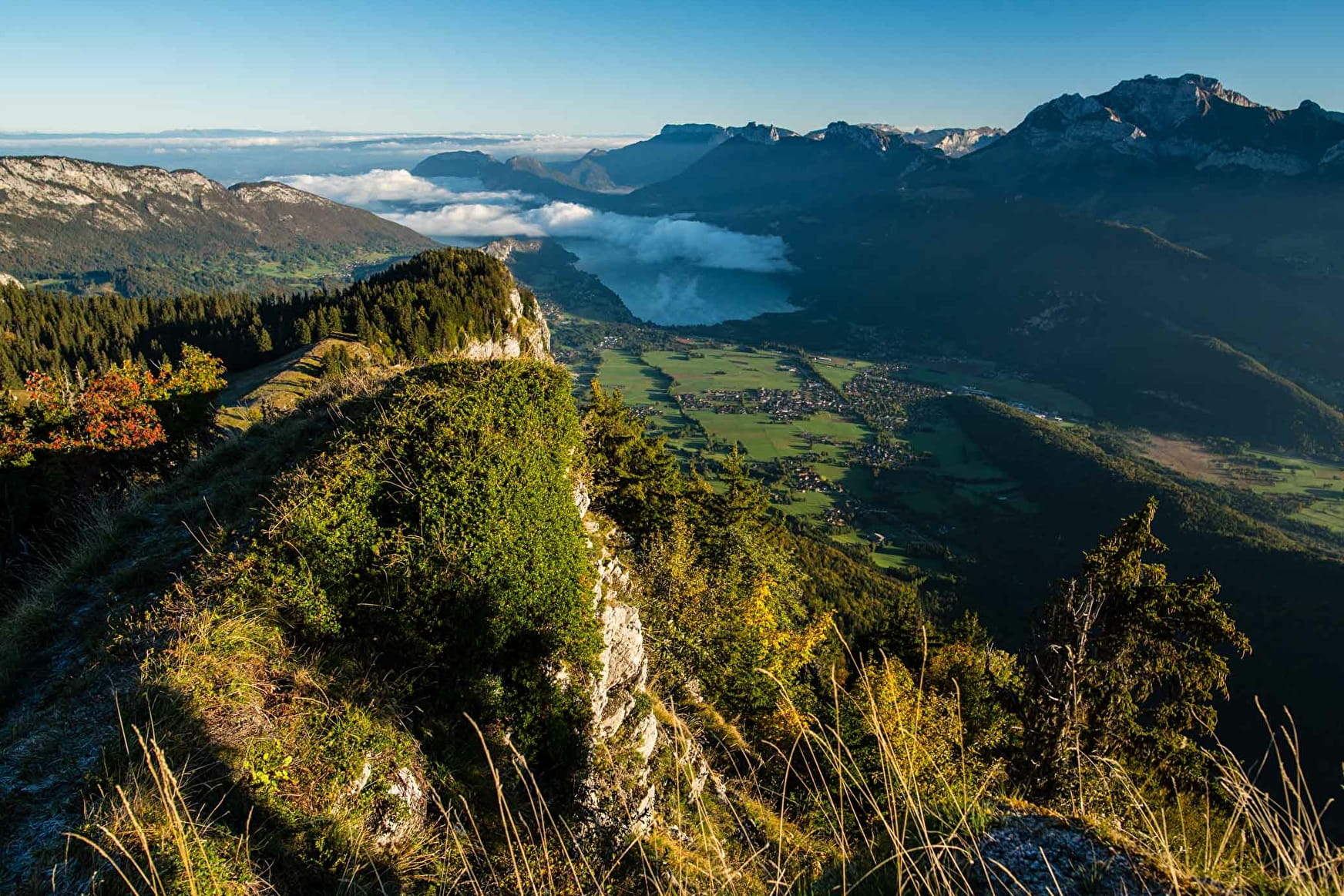
Sport Randonnée pédestre : montagne du Charbon Doussard
About

Further informations
Stone, Ground
1 2
Reception
Period of practice
From 01/01 to 31/12.
Services
- Pets welcome
Stone, Ground


From 01/01 to 31/12.

