The Aiguilles d'Arves refuge is based at an altitude of 2260m and can accommodate up to 39 people under its roof.
On this hike, you'll discover magnificent flora and fauna.
Chamois and marmots can be spotted.
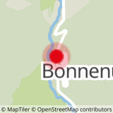
To activate geolocation, click on the map icon.
- Sport
Le Refuge des Aiguilles d'Arves
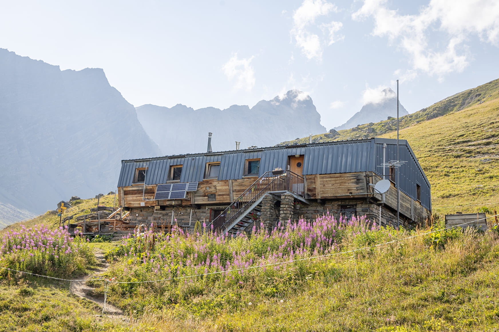
The end point of this hike is the arrival at the Aiguilles d'Arves refuge which allows you to spend a convivial moment.
Sport Le Refuge des Aiguilles d'Arves Valloire
About

Signs
The trail is marked with yellow directional signs.
Map references
Map of Valloire walking and mountain biking trails, on sale at the tourist office
Further informations
Rock, Ground
1 2


Start from the parking lot below the Bonnenuit altiport (D902). 1 - Take the forest path leading to the Chalets des Aiguilles d'Arves. 2 - Continue to the refuge (altitude 2260m). Vertiginous passage at "Mauvais pas", just before arriving at the refuge. 3 - Descend by the same route.
Precautions:
- Find out about the weather conditions before your departure.
- Prefer a departure in the morning so as not to be surprised by the night and let someone know if you are leaving alone.
- The routes you take are your own responsibility.
- It is necessary to choose a route adapted to your physical and technical capacity. If in doubt, do not hesitate to contact mountain professionals.
- Be properly equipped to practice hiking in complete safety and deal with the vagaries of the weather.
- This hike is done in summer when there is no more snow.
- Passing through a scree just before arriving at the refuge.
Prices
Free access.
Reception
Period of practice
All year round.
Subject to favorable snow and weather conditions.
Services
- Pets welcome
- Restaurant
- Car park

