• Sport

Nordic walking Ternier route blue loop

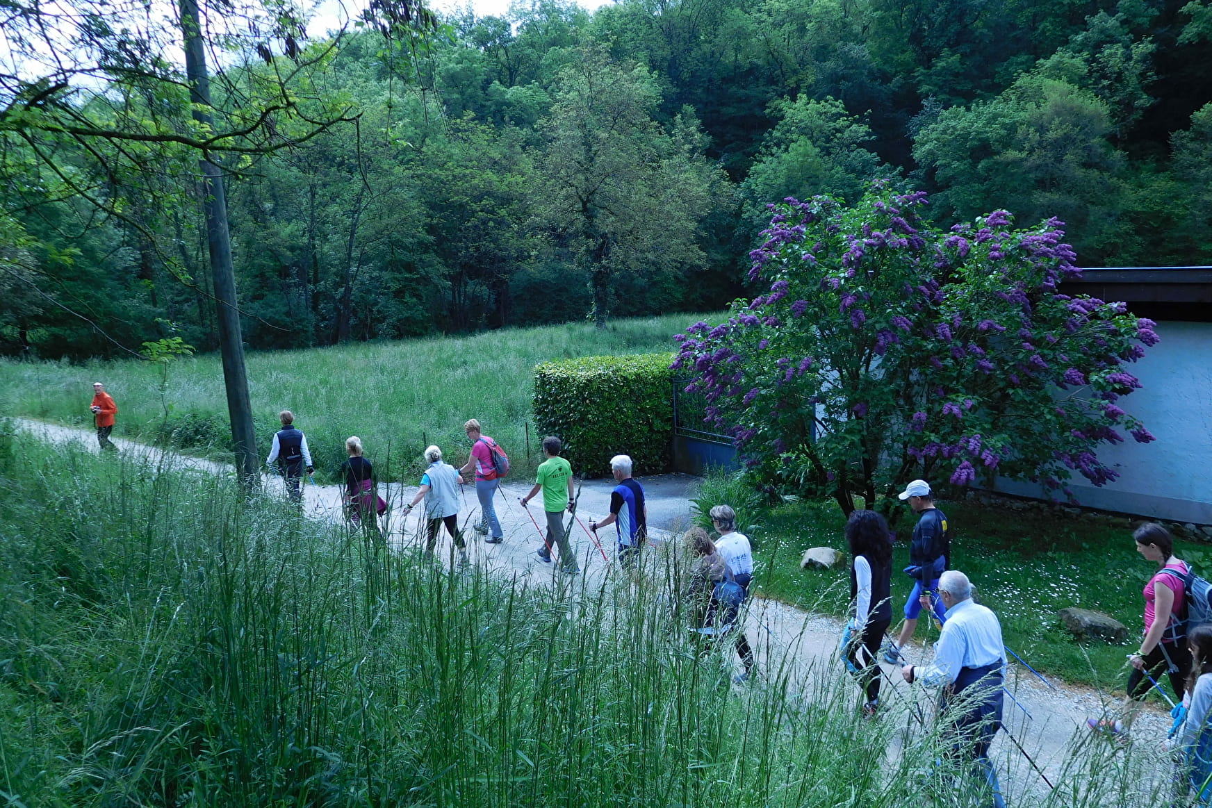
A loop allowing you to travel through forest and plateau in order to discover the haut-genevois, looking over Saint-Julien and the tip of Lake Geneva.

Sport Nordic walking Ternier route blue loop Saint-Julien-en-Genevois

About

Departing from Saint-Julien-en-Genevois (74160)
Average length : 01h20
Total elevation gain : 38m
Vertical drop : 38m
Distance : 6.5km
Signed walking trail
Animals allowed

The opinion of the regional expert: a complete site, accessible to all and presenting no major difficulties due to steep gradients.

Prices

Free access.

Reception

Animals allowed
Languages spoken : French
Adapted to all-terrain strollers

Period of practice

All year round.

Services
  • Pets welcome

Access

avenue de Ternier 74160 Saint-Julien-en-Genevois
Departing from : Saint-Julien-en-Genevois (74160)
Latitude : 46.138883 - Longitude : 6.089145

At the end of Avenue de Ternier, at the start of the Ancien Chemin de Ternier.

Information update on 16/08/2022 by Office de Tourisme des Monts de Genève