- Sport
Ascent to Trapanel
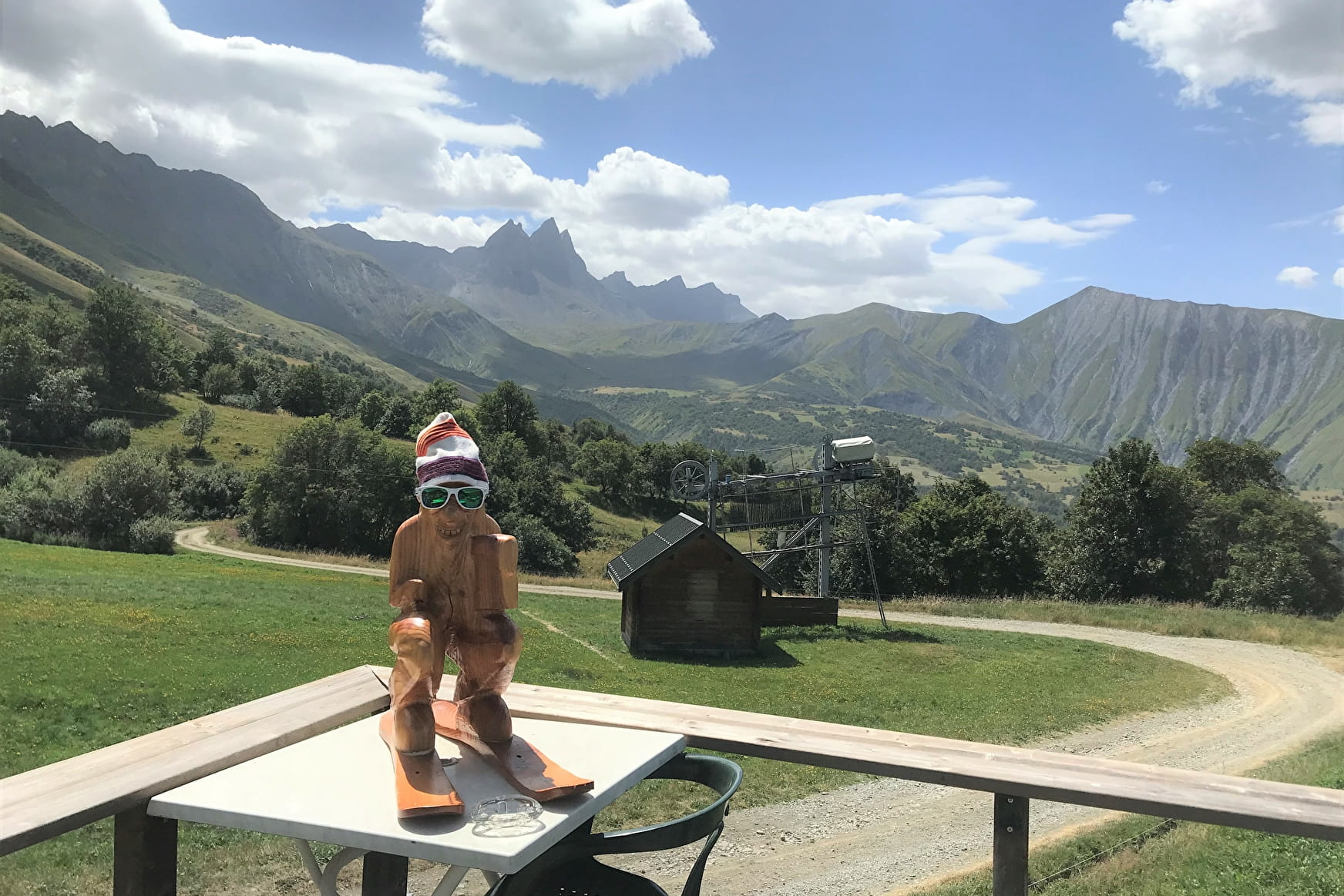
Sunny terrace facing the Aiguilles d'Arves.
Sport Ascent to Trapanel Albiez-Montrond

About

Further informations
Stone, Grit
1 1

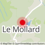
0/ Start from Col du Mollard.
1/ Continue on the RD80 towards Le Mollard for 100 m.
2/ Turn slightly left onto Rue du Ravarin.
3/ At the Pierre aux Fées vacation center, turn left onto the Route de la Praz (road then forest track), then continue on the sentier de la Plaigne to the next junction.
4/ Turn left towards Les Aplanes to the high-altitude restaurant Le Trapanel.
5/ Return by the same route.
Prices
Free access.
Reception
Period of practice
From 01/01 to 31/12.
Services
- Pets welcome
- Public WC
- Car park
- Free car park
Contacts
Access
- Not accessible in a wheelchair
