Time 1hr
Distance: 3.8 km
Elevation gain: 357 m
Leaving from the top of Belle Plagne, follow the paved road to the alpine chalets. From there, take the track on the right up to the Col de l'Arpette, then follow the path that takes you to the top of Mont Saint Jacques.
- Sport
Mont Saint Jacques
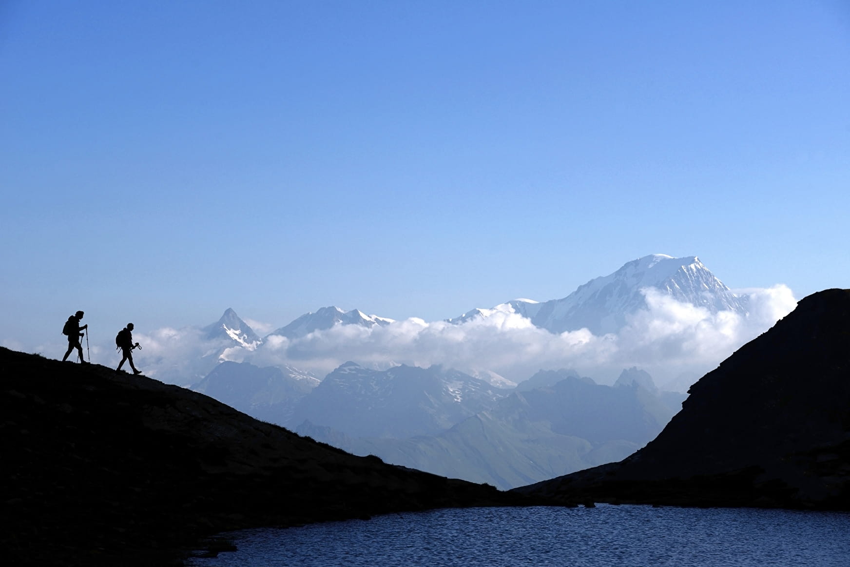
A hike to Mont Saint Jacques at 2407 m, a must-see viewpoint overlooking the valley and the Mont Blanc massif!
Sport Mont Saint Jacques La Plagne
About

Prices
Free of charge.
Reception
Period of practice
From 29/06 to 31/08/2024, daily.
Services
- Pets welcome
Contacts
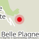
Access
Itinerary from the top of Belle Plagne, towards the residence Les Balcons de Belle Plagne.