

If you want to follow the life of a torrent, today's destination is the perfect
choice! Follow the Doron torrent of Doron and, step by step, get to know its
quirks. At over 2,000 metres above sea level, right before your eyes, it rushes
down the gorges it's been carving over the centuries. And here it remains,
ever greedy for the refreshing waters of the glacier melt.
At the bridge (Pont du Villard), your adventure has only just begun. Peaksseem
to gather together here to quench your thirst for adventure: Pointe de l’Abby,
Pointe du Génépy, and even Dôme de l'Arpont! So far and yet so close at the
same time, the waterfalls parade before you, one after another.
Fascinated by this dream-like atmosphere, you make your way forward,
until the paved path leading to the Vanoise National Park brings you back
down to earth. The salt and cheese route might just lead you to a tasting of
Termignon blue cheese! Look around the village… This farmers' cheese is
one of the hits in local produce.
- Sport
Pont du Villard
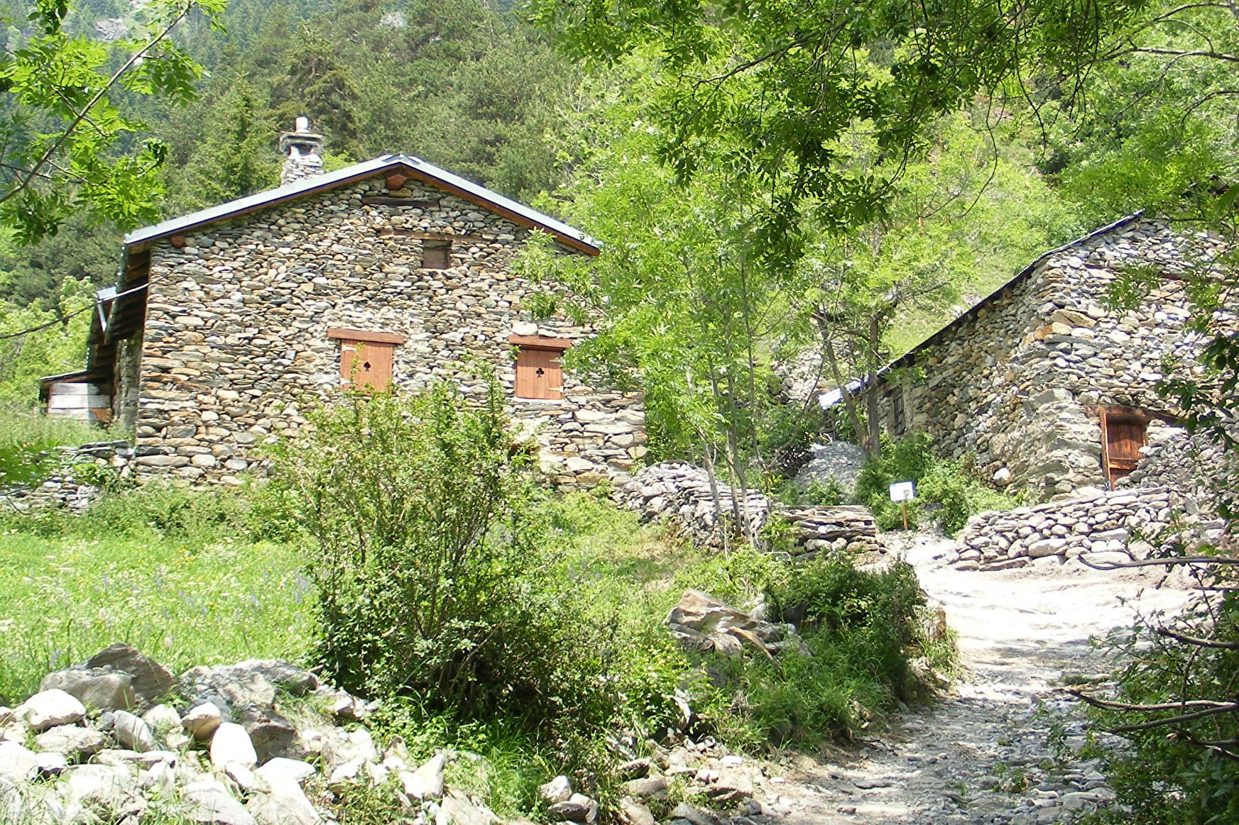
Here, waterfalls reveal themselves to young and old. Water, continuously
in movement, cascades straight down from the Vanoise glaciers. Imagine
columns tens of metres high carved into the sunny cliffs. Raw nature!
Sport Pont du Villard Val-Cenis
About

Signs
Departmental signposting (PR)
Map references
Map and booklet "Walks and Hikes Haute Maurienne Vanoise" (sold for € 10 at the Tourist Office)
Topoguides references
Green route n°11
Further informations
Ground, Grit
To guide you in the field, consult the "step-by-step" directional diagram provided in pdf.
Prices
Free access.
Reception
Pets allowed on leash only.
Period of practice
From 01/05 to 15/10.
Subject to favorable snow and weather conditions.
Services
- Pets welcome
- Parking
- Charging stations for electric vehicles
Contacts
Access
By bus: Line S53 or S52 - Maison de la Vanoise/Mairie stop
By car: Parking close to the Maison de la Vanoise.