Start from LES AVENIERES, going towards LE TREU on a footpath which runs just behind the chalet. From the summit, return to LES AVENIERES by going down through the Alpage du Treu, Sous le Treu and via the Orientation Table of Les Avenières.
TO SEE :
In July, masses of rhododendrons in bloom cover the whole north face of Le Treu. The extensive pastureland close to the Route des Montagnes.
PLEASE NOTE :
The itinerary on the way up takes a path which sometimes goes very close to the cliff edge, so be very careful with children or in wet conditions.
- Sport
Le Treu
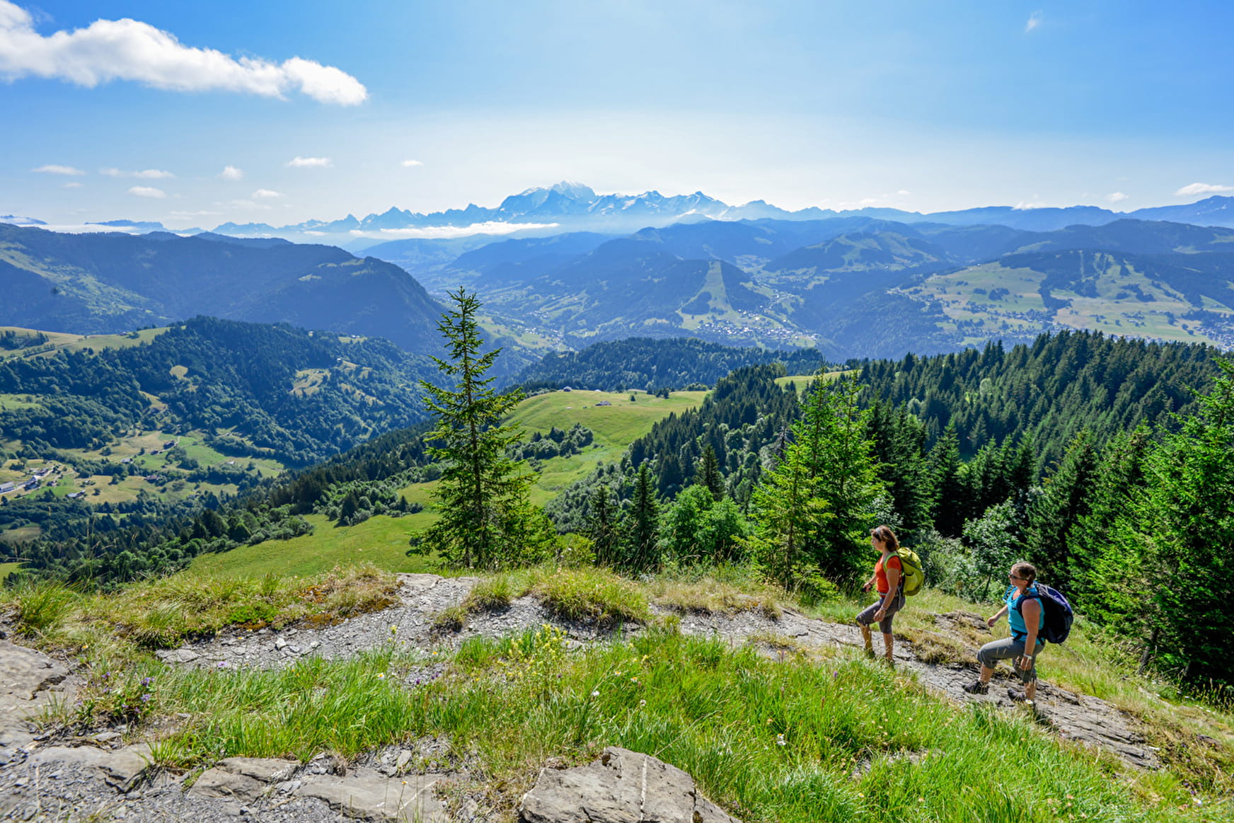
Short hike on a footpath, with a few exposed passages, taking you to the summit of Le Treu with its magnificent 360° views over the surrounding mountains: Mont-Blanc, Aravis...
Sport Le Treu Saint-Nicolas-la-Chapelle
About

Signs
Marked with yellow signs.
1 2


Prices
Map of walking routes on sale at the Tourist Office at € 9.
Methods of payment accepted : Cash
Reception
Period of practice
From 01/06 to 01/10.
Services
- Pets welcome
Contacts
Access
For a departure from Les Avenières, park either in the bend before the road that goes up to Les Avenières, or below the Alpage des Avenières if the vehicle is high enough to take the road.

