• Sport

Le Mont Clocher via Les Saisies

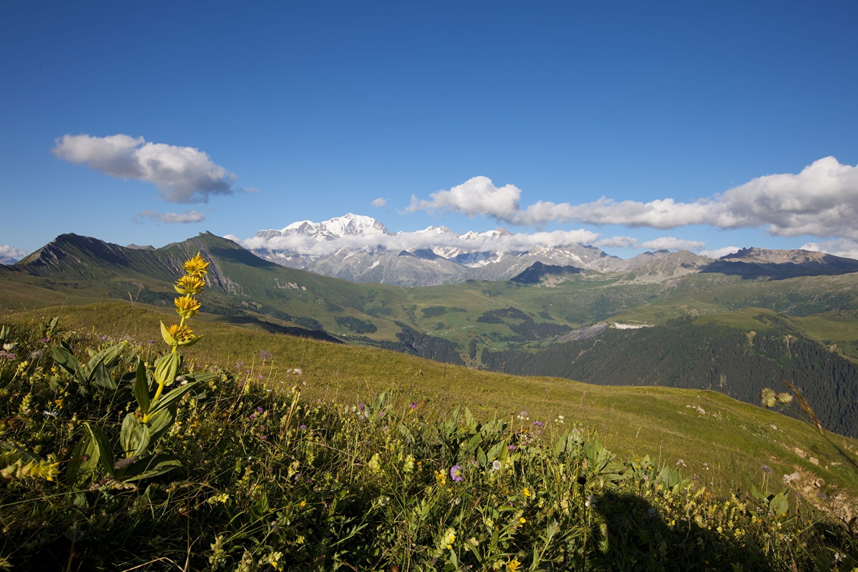
On the ridge of a scenic route, discover the Hauteluce valley and Beaufortain valley with its hydroelectric dams.

Sport Le Mont Clocher via Les Saisies Les Saisies

About

Departing from Les Saisies (73620)
Average length : 03h45
Total elevation gain : 470m
Vertical drop : 470m
Distance : 10.9km
Signed walking trail
Animals allowed

Way and back
Total elevation gain : 470m
Altitude max : 1976m
Vertical drop : 470m

Map references

IGN map of hiking in Beaufortain on sale at the Tourist Office

Topoguides references

"Balades en Beaufortain" on sale at the Tourist Office

Prices

Free access.

Reception

Animals allowed

Period of practice

From 01/06 to 30/09.

Services
  • Pets welcome

Access

Le Signal 73620 Les Saisies
Departing from : Les Saisies (73620)
Latitude : 45.760069 - Longitude : 6.532874

More informations

Information update on 14/04/2023 by Office de Tourisme des Saisies