Ability to loop through Le col de la Lézette and Les Saisies resort to go back to Hauteluce with the shuttle (inquire in advance about the schedule).
- Sport
Le Mont Clocher via Hauteluce
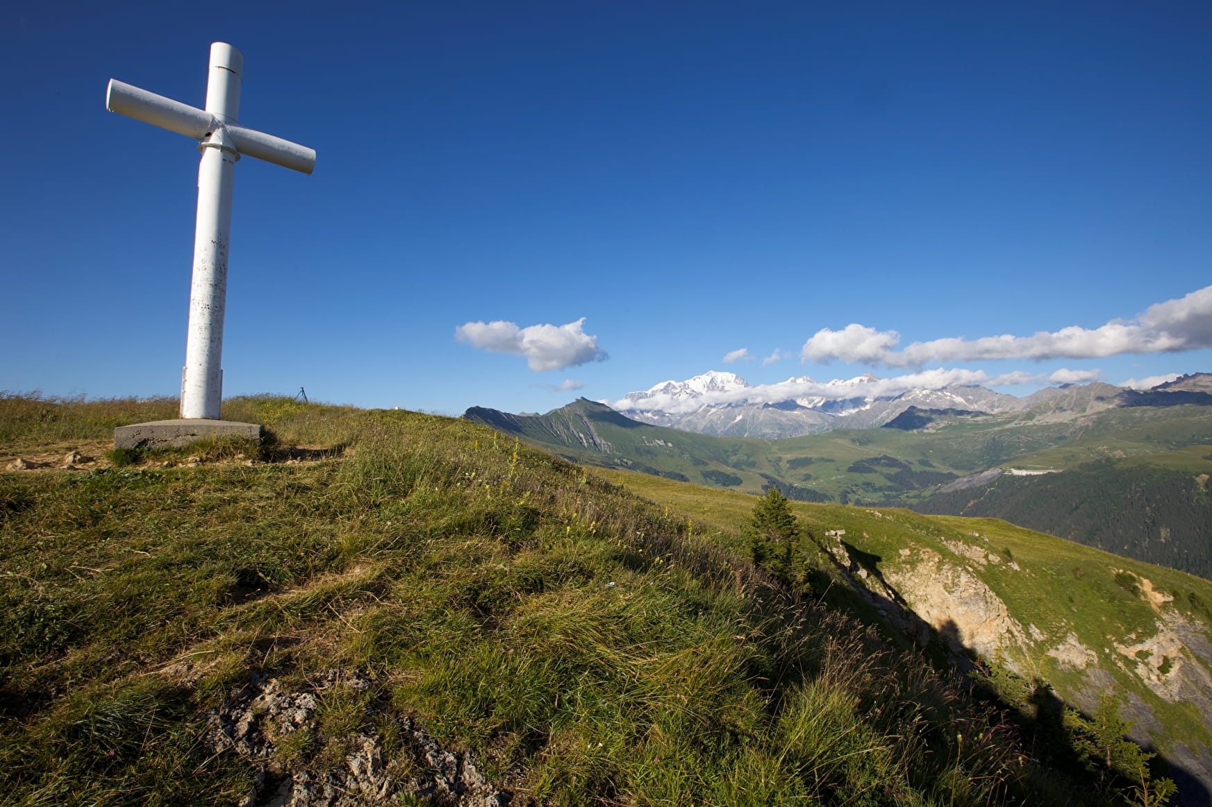
Hiking to reach le Mont Clocher, its beautiful panorama of Hauteluce valley and the surrounding mountains: Mont Blanc, Aravis, Beaufortain.
About

Map references
IGN map of hiking in Beaufortain on sale at the Tourist Office
Topoguides references
"Balades en Beaufortain" on sale at the Tourist Office
Further informations
Ground
Prices
Free access.
Reception
Period of practice
From 01/06 to 30/09.
Services
- Pets welcome