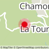
Departure point: Les Petites Seignières parking lot
Route: opposite the gîte, turn left towards Les Vergettes. At this intersection, continue on the track to Ratut, then to Croix de Montauban via a footpath. From here, turn right towards Croix de Chamberot, then Les Petites Seignières. At Les Vergettes, back on the track, take the same route as before.
- Sport
The circuit of Montauban
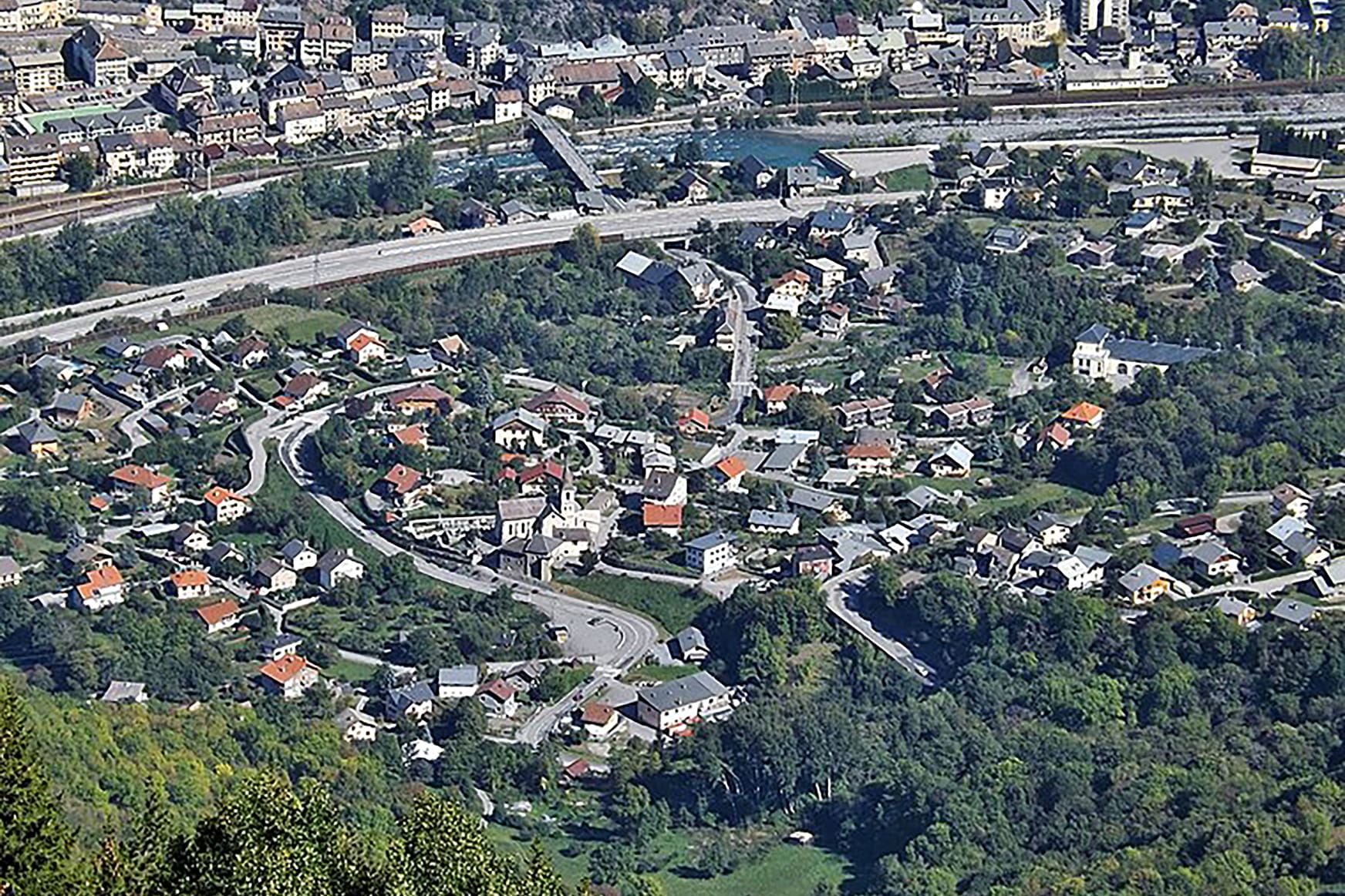
This 2 km hike will take you to the Montauban and Chamberot crosses, with a fine view from the Montauban cross.
Sport The circuit of Montauban Saint-Martin-d'Arc
About
Map references
Topo-Guide and carto-guide available from the Maurienne Galibier tourist office.
Topoguides references
Topo on sale at the reception desks of local tourist offices (Valloire, Orelle, Valmeinier, Saint-Michel de Maurienne).
Departure point: Les Petites Seignières parking lot
Opposite the gîte, turn left towards Les Vergettes. At this intersection, continue on the track to Ratut, then to Croix de Montauban via a footpath. From here, turn right towards Croix de Chamberot, then Les Petites Seignières. At Les Vergettes, back on the track, take the same route as before.
Prices
Free access.
Reception
Period of practice
All year round.
Subject to favorable snow and weather conditions.
Services
- Pets welcome
- Free car park
- Car park