

Bizarrely, different worlds come together as you make your way along the
path. The little runway at the airfield would make any golfer's mouth water.
Smooth as the best greens, its lawn seems to spread to infinity.
As soon as you pass the shale quarry, you're struck by an unsurpassable view
of Dent Parrachée and the Grande Casse glaciers.
And then, when you get to the Châtel, you won't believe your eyes! In this
hamlet, nestled at the foot of a rock-climbing face, time literally stands still,
and even today, there's no running water or electricity.
And as you continue your hike, perhaps you'll stop at the solarium for a
meditative break... Or maybe you'd rather go take a closer look at this strange
object that shows you the direction of the wind...
One thing is for sure, these little pleasures are just the thing to make you
truly appreciate your newfound tranquility
- Sport
From Val Cenis Sollières to Châtel
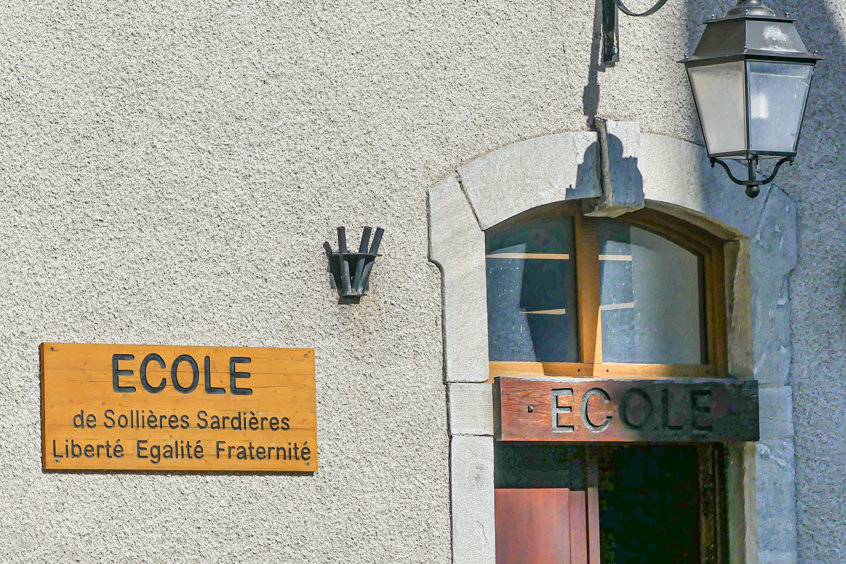
Looking for the kind of walk that holds surprises around every corner? Here's
an exotic journey you're sure to love. Escape everyday life into the bliss
of Chemin du Petit Bonheur and wander through the ages at your leisure.
Sport From Val Cenis Sollières to Châtel Val-Cenis
About

Map references
Map and booklet "Walks and Hikes Haute Maurienne Vanoise" (sold for € 10 at the Tourist Office)
Topoguides references
Green route n°8
Further informations
Ground, Hard coating (tar, cement, flooring), Grit
Prices
Free access.
Reception
Pets allowed on leash only.
Period of practice
From 01/05 to 15/10.
Subject to favorable snow and weather conditions.
Services
- Pets welcome
- Parking
Contacts
Access
By bus: Route 53 - Les Favières stop.
By car: Park in the parking lot near Le Chenantier campsite.