DEPARTURE: Parking entrance of the hamlet of Chaucisse - Information boards hikes.
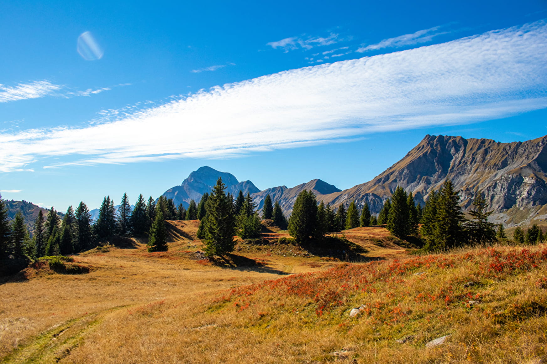
ROUTE: from the car park, take the Route des Montagnes (alpine trail) briefly up to the LES ROZETS intersection. Take the small road on the right towards the CARRÉS. Take the track on the left which becomes a path to join SOUS LA CROIX. Round trip to LA CROIX CARTIER to enjoy the view. Take the trail across the plateau to LA CROIX DE STATA. From there, go down towards PELOSET then turn left on the Route des Montagnes (alpine trail) to return to CHAUCISSE.
POINTS OF INTEREST:
- The pastures of Bogneuve, chalets with their herds of cows
- The church of Chaucisse
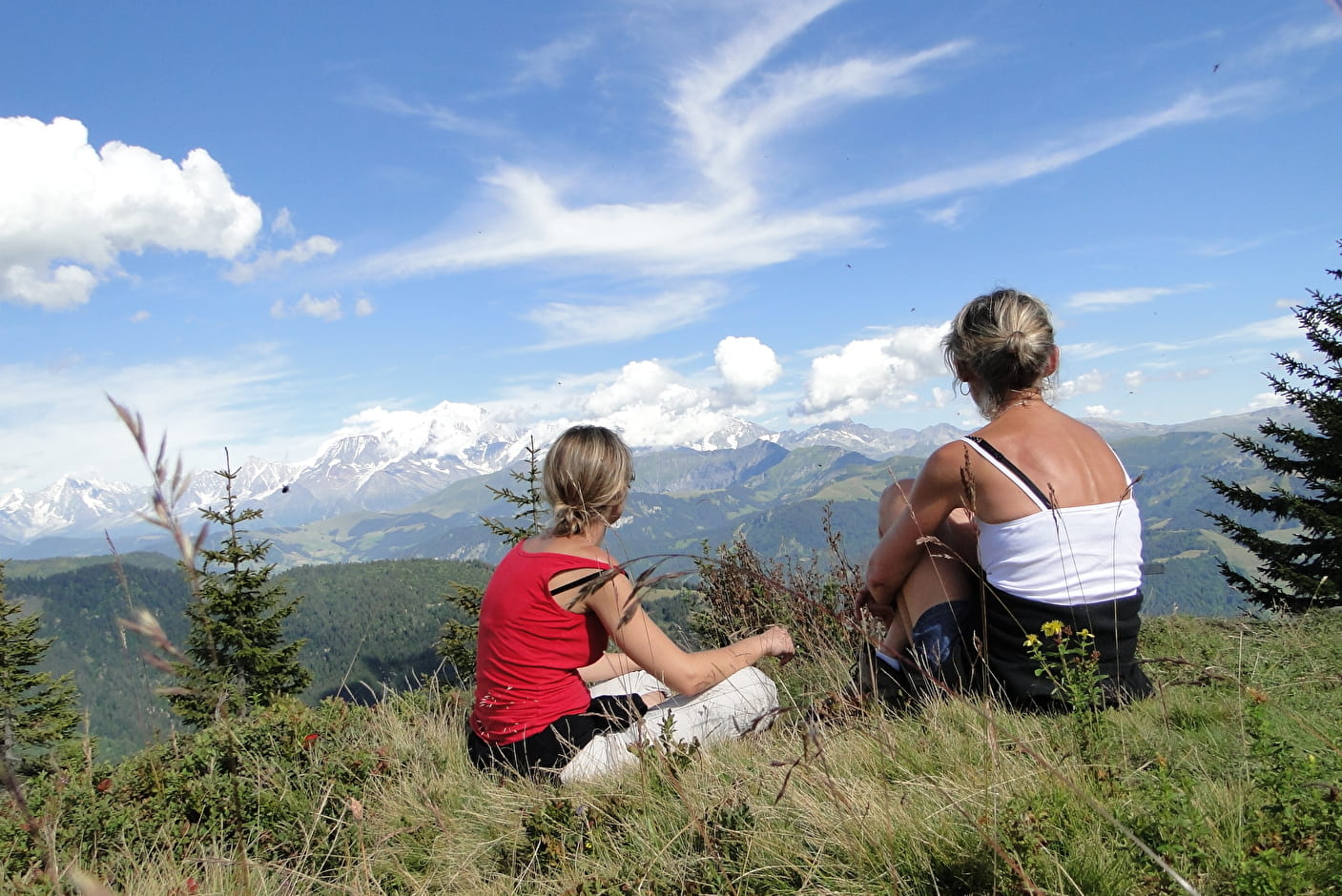
- A special view of the summit of Mont Blanc and the Dome du Gouter between the Croix Stata and the Cartier Cross.
- Sport
La Croix Cartier - Croix Stata
Savoie Mont Blanc's choice
A short hike for a grandiose atmosphere!
Sport La Croix Cartier - Croix Stata Saint-Nicolas-la-Chapelle
About

Signs
Marked with yellow signs.
Topoguides references
Walking and hiking map of the Val d'Arly for sale at 9 € or Topo Walks and Short hikes on sale at € 4 in the tourist offices.
1 2


Prices
Walking and hiking map of the Val d'Arly for sale at 9 € or Topo Walks and Short hikes on sale at € 4 in the tourist offices.
Methods of payment accepted : Check, Cash, Bank/credit card
Reception
You will cross pastures, keep your dogs on a leash.
Period of practice
From 01/06 to 30/09.
Services
- Pets welcome
Contacts
Access
DEPARTURE: Car park at the entrance to the hamlet of Chaucisse - Hiking information panels.