Follow the signs for the Floria from the route des Nants. Once at the refreshment bar, continue on the path that climbs slightly and cross the Couloir des Lanchers. Stay continuously on the left side of the cable car and pass the Praz des Violles. The path crosses, then uses the ski run to reach the Flégère located above the Cornua forest.
Departure also possible from Les Praz or Les Tines.
More information available at the Tourist Office or the High Mountain Office and in our trail guide.
Attention : The conditions of the trails are likely to change, think of informing you before leaving.
- Sport
Hiking to la Flégère from Chamonix
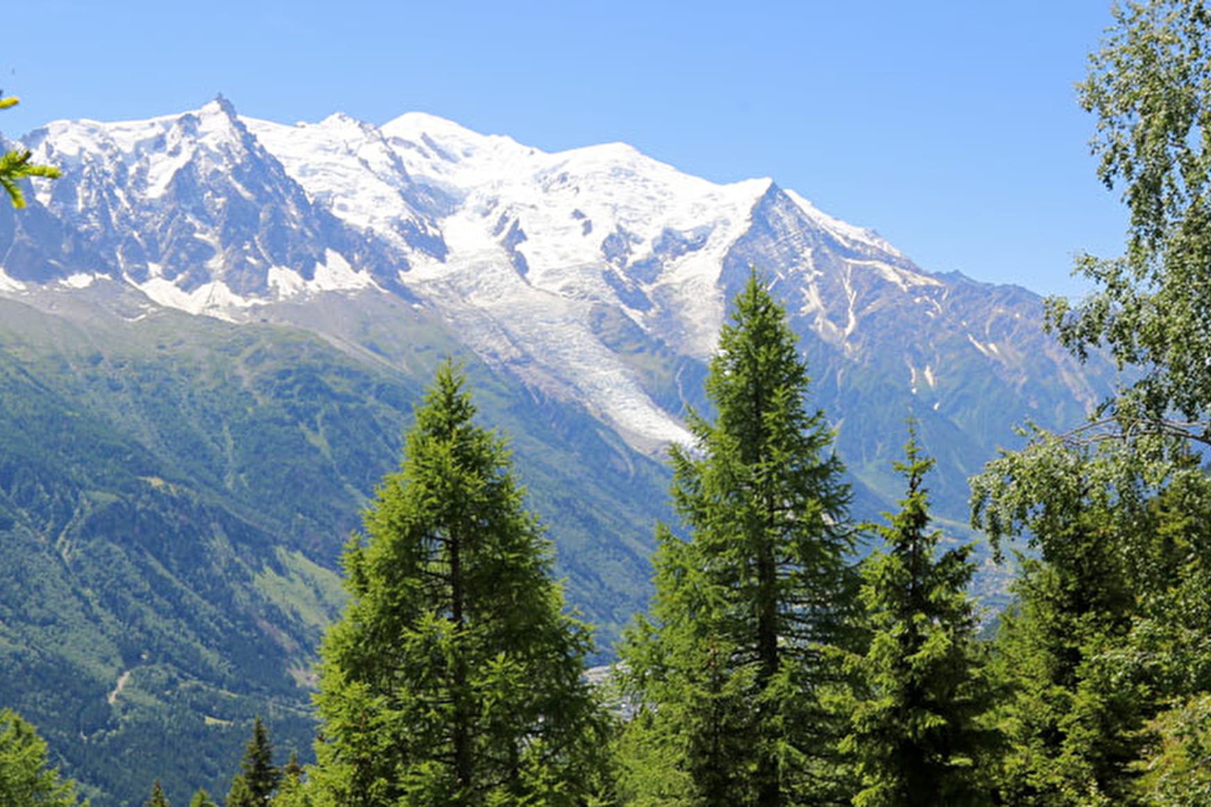
Pleasant hike in the forest. The panorama embraces the entire Mont-Blanc range. The view is very beautiful on the Mer de Glace.
Sport Hiking to la Flégère from Chamonix Chamonix-Mont-Blanc
About

Further informations
Rock, Stone, Ground, Grit
1 1

Prices
Free of charge. Single trip or Return ticket if start at the Brevent lift Top.
Reception
Period of practice
From 15/05 to 31/10.
Subject to favorable snow and weather conditions.
Services
- Pets welcome
Contacts
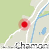
Access
Closest bus stop: Vallot
Closest train stop : Chamonix train station
Closest parking : Saint-Michel car park
