• Sport

Mont Tournier hike

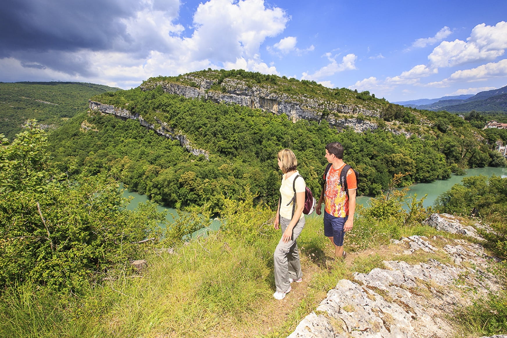
This day hike promises many discoveries on the slopes of Mont Tournier! Overlooking the Rhône or the green valleys, your walk is punctuated by historical, natural and landscape nuggets.

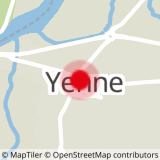
Sport Mont Tournier hike Yenne

About

Departing from Yenne (73170)
Average length : 10h00
Total elevation gain : 647m
Vertical drop : 647m
Distance : 22km
Signed walking trail
Animals allowed

Loop
Total elevation gain : 647m
Altitude max : 877m
Vertical drop : 647m

Further informations

Grit

    1 6

    Prices

    Free access.

    Reception

    Animals allowed

    Period of practice

    Throughout the year : open daily.

    Services
    • Pets welcome
    • Coach access
    Equipments
    • Picnic area
    • Car park
    • Orientation board
    • Free car park

    Access

    Eglise de Yenne 73170 Yenne
    Departing from : Yenne (73170)
    Latitude : 45.703831 - Longitude : 5.758302
    Moving across the city : Yenne (73170), Loisieux (73170), Traize (73170)
    Information update on 09/06/2023 by Office de Tourisme de Yenne