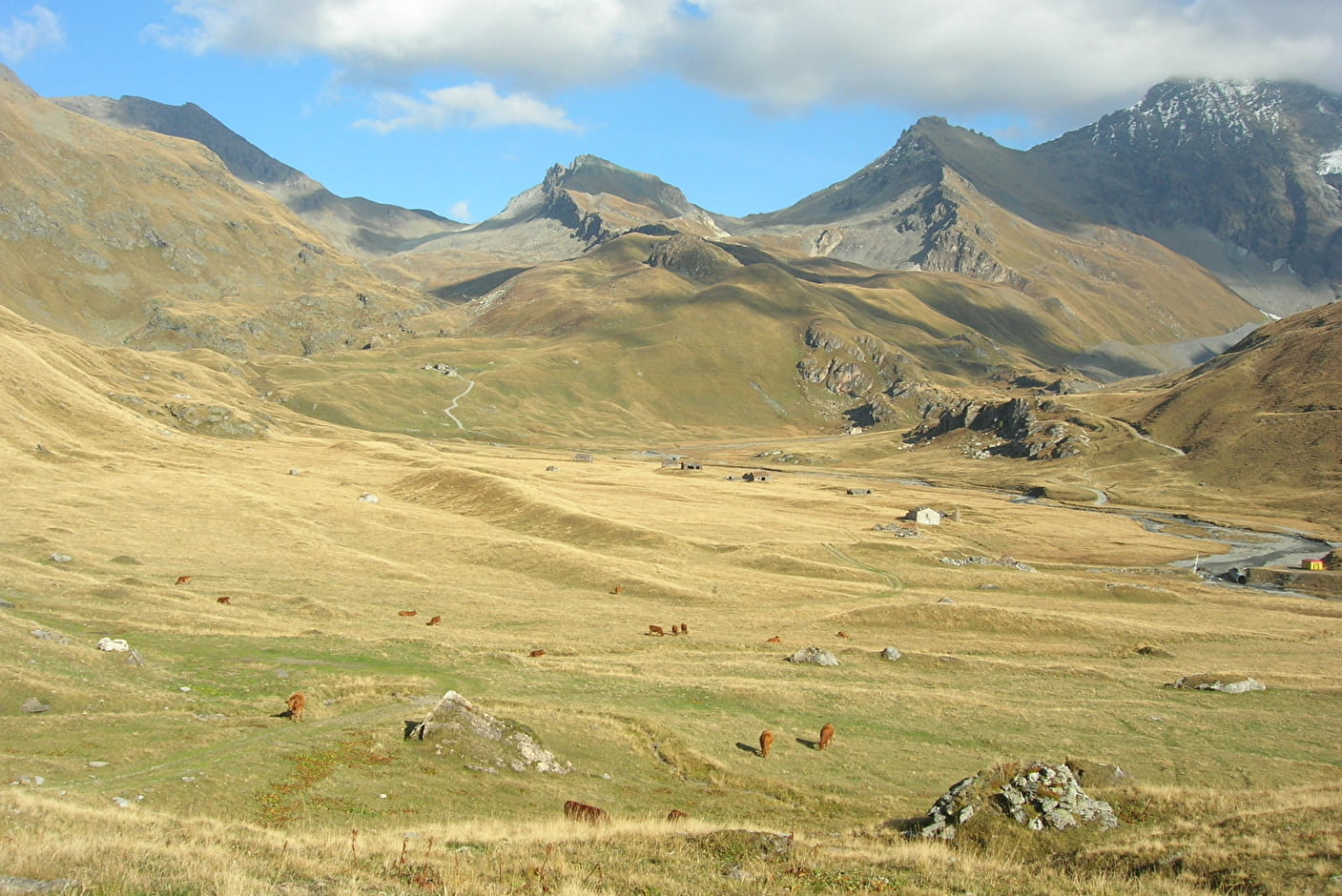
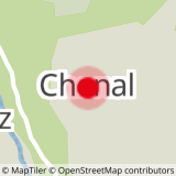
Stage 1: Chenal (1700 m) - Refuge de l'Archeboc (2029 m) Total height gain: 684 m Total duration of the route: 4? hours, not including breaks. This magnificent stage takes you through pastures (where Beaufort cheese is made), forests and hamlets with traditional architecture. From the listed village of Le Monal, you can enjoy an extraordinary panorama of the Mont Pourri massif.
Stage 2: Refuge de l'Archeboc (2029 m) - Refuge du Chalet de l'Epée (2370 m) (Valgrisenche) Difference in altitude: 1200 m Total time 4h50 excluding breaks.
This historic stage has seen the following pass through over the centuries: - military personnel (in 1795, Commandant Bernard's company was decimated by a storm at the Col de la Sachère) - pedlars (the path from La Mazure to the Col du Mont was classified in 1692 by deed as a "Grand chemin tendant en Valgrisenche") - pilgrims (every 5th August, the procession to Lac Saint Grat commemorates the clandestine return of the Saint's relics via the Col de la Sachère).
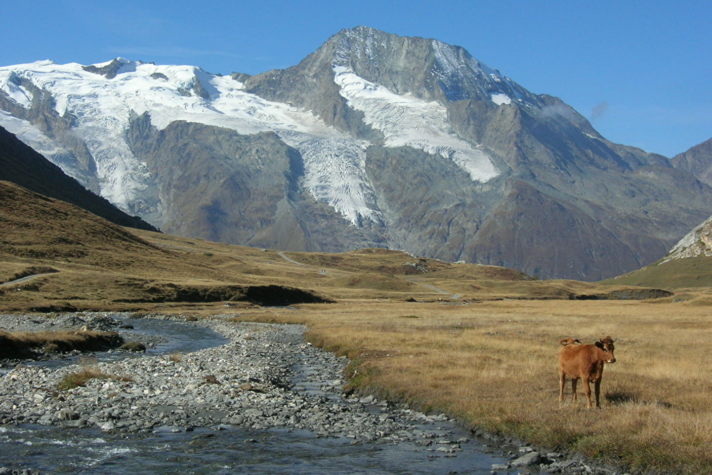
Stage 3: Chalet de l'Epée hut (2370 m) - Mario Bezzi hut (2284 m) Total height gain: 398 m Total time 3h10 excluding breaks Extraordinary balcony above the valley. An approach to the high mountains in a dream setting: the Ruitor massif, the Grande Sassière, and the border range you crossed the day before. There is also the option of climbing to Lake San Martino (2700 m). Allow 1? hours for the return journey.
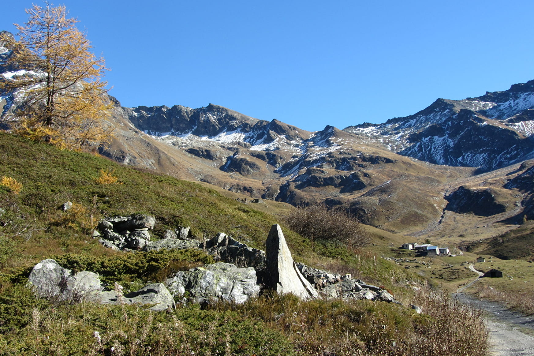
Stage 4: Refuge Mario Bezzi (2284 m) - Chenal car park Total height gain: 549 m Total time 4h15 excluding breaks Another different stage where geology is the order of the day. On the way up, before descending to Les Balmes, visit one of the last mountain pastures where Beaufort cheese is made.
- Sport
Haute Route Glaciaire (4 days)
A fantastic route which sometimes dances over the border, the High Glacial Route leads you in the footsteps of pedlars and smugglers. A land of trade and tradition, the Haute Tarentaise and the Aosta Valley will share their mountain culture with you.
Sport Haute Route Glaciaire (4 days) Sainte-Foy-Tarentaise
About
Further informations
Stone, Ground, Grit
1 6


Reception
Period of practice
From 15/06 to 15/09.
Subject to favorable snow and weather conditions.
Services
- Pets welcome