The low loop allows you to admire the Neuvache valley from a balcony path on the way up. On the way down, the route often tangents the torrent itself.
The high loop takes place in a more mineral universe at the base of the western slope of Mount Tabor.
The marking of these loops is varied.
- Sport
Grands Lacs par le refuge de Terre Rouge
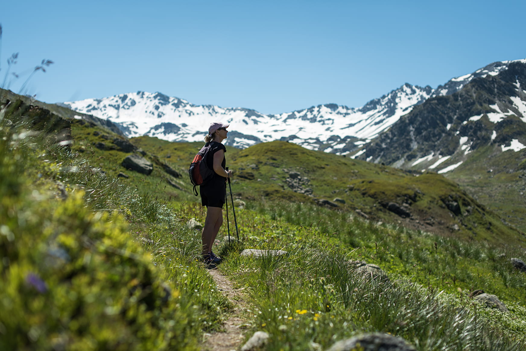
This hike is made up of two loops that meet at the Red Earth Hut.
About

1 1

Prices
Free of charge.
Reception
The Chenalette car park is clearly indicated from the road leading to Valmeinier 1800.
At the car park, drinking water and dry toilets from the beginning of the climb.
Hiking equipment, water.
We also advise you to take with you the IGN paper maps 1:25000 of this hike.
Always be careful and far-sighted when hiking.
Period of practice
From 15/05 to 15/10.
Subject to snow conditions.
Subject to favorable weather.
