A beautiful sporty hike to discover one of the sections of the GR5, but also the geological and natural sites of the Abondance valley.
This itinerary starts from the Alpage de Bise, classified as a UNESCO Geopark. Its landscapes offer a real journey through time, from the history of the formation of the Alps to the history of the people who lived in this mountain environment with their herds.
After a short climb through the pastures to the Pas de la Bosse (1816 m), you will continue with a long descent of 800m to the Chapelle d'Abondance with the Mont de Grange, the emblematic summit of the Chablais, as your sight.
At La Chapelle d'Abondance, you can stop and admire the beautiful traditional wooden farmhouses, whose vast surface area made it possible to meet the needs of the winter: sheltering men, their animals and the food reserves for each of them. You will also have the opportunity to stock up on cheese and other regional products at the "fruitiere" before climbing up the slopes of the Mont de Grange, a peak culminating at 2432 m and a Natura 2000 site. This reserve is home to numerous species: red deer, chamois, ptarmigan, black grouse, peregrine falcons... Keep your eyes open!
Your arrival at the Trébentaz Refuge will also be full of surprises, with a magnificent panorama of the Valais, Chablais and Bernese Oberland!
- Sport
GR©5: Bise - Trebentaz (La Chapelle d'Abondance)
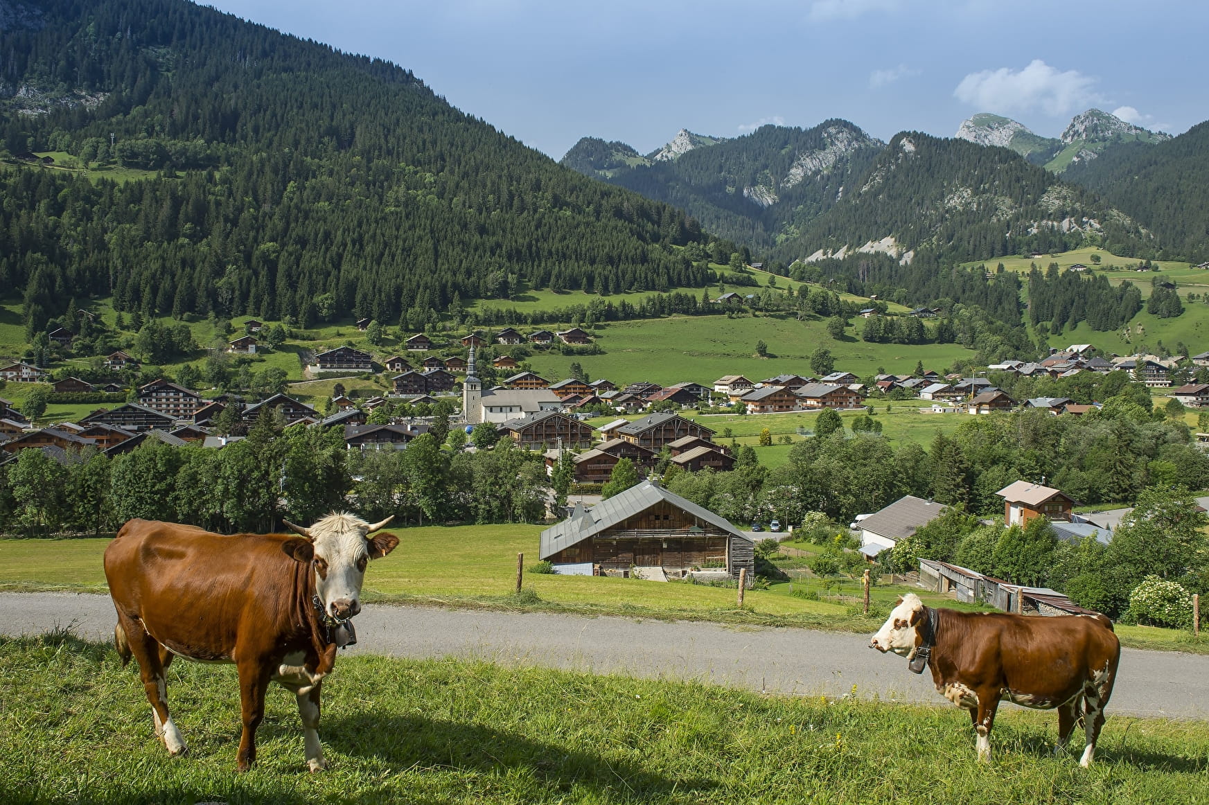
This section of the GR5 reaches the Trebentaz refuge from Bise. It crosses the Natura 2000 nature reserves of the Cornettes de Bise and the Mont de Grange, emblematic peaks of the Abondance valley, and the village of La Chapelle d'Abondance.
About

Signs
GR© markings (red and white) Departmental markings called P.D.I.P.R. on beige metal panel and green writing.
Map references
Map of the Portes du Soleil hiking trails in France and Switzerland TOP 25 N°3528 ET Morzine Massif du Chablais Les Portes du Soleil
Topoguides references
On sale in the tourist offices of the Abondance valley.
Further informations
Stone, Ground, Hard coating (tar, cement, flooring), Grit


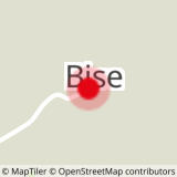
0/ Start: Alpage de Bise, Vacheresse.
1/ Take the path towards "Pas de la Bosse" (1816 m),
2/ At the Pas de la Bosse, take the direction of " Chalets de Cheneau " and " Chalets de Chevenne " by a long descent of 800 m.
3/ Turn left and cross the centre of the village of La Chapelle d'Abondance to reach the "Pont de Banfin".
4/ Cross the "Pont du Banfin" and head towards the "Moulin" and the "Cascade sur Bayard".
5/ Join "Sur Bayard" and then the "Crottes".
6/ Leave the GR5 and take the path on the right which goes up towards the "Chalets de Trébentaz".
7/ You will arrive at the Trébentaz refuge.
Prices
Free access.
Reception
Dogs must be kept on a leash due to the presence of herds, Natura 2000 reserve and hunting reserve.
Period of practice
From 24/06 to 17/09.
Accessible except during snow and depending on weather conditions.
Please check with the Tourist Office for the latest information on access conditions. Reservations are required for the refuge. This route is usually suitable for strong walkers during summer, and autumn, except in adverse weather.
- Pets welcome
- Accommodation
- Restaurant
- Play area
- Picnic area
- Public WC
- Orientation board
- Parking
Contacts
Access
In the Abondance valley, at Vacheresse, take the direction of Bise.
Large car park on arrival at the Bise mountain pasture.
No public transport service.


