- Sport
Col d'Entreporte to Aiguille Grive
Climb to the top of "l'Aiguille grive" with a 360°scenic view

About

Map references
TOP 25 IGN 3532 ET Les Arcs/La Plagne/Parc national de la Vanoise


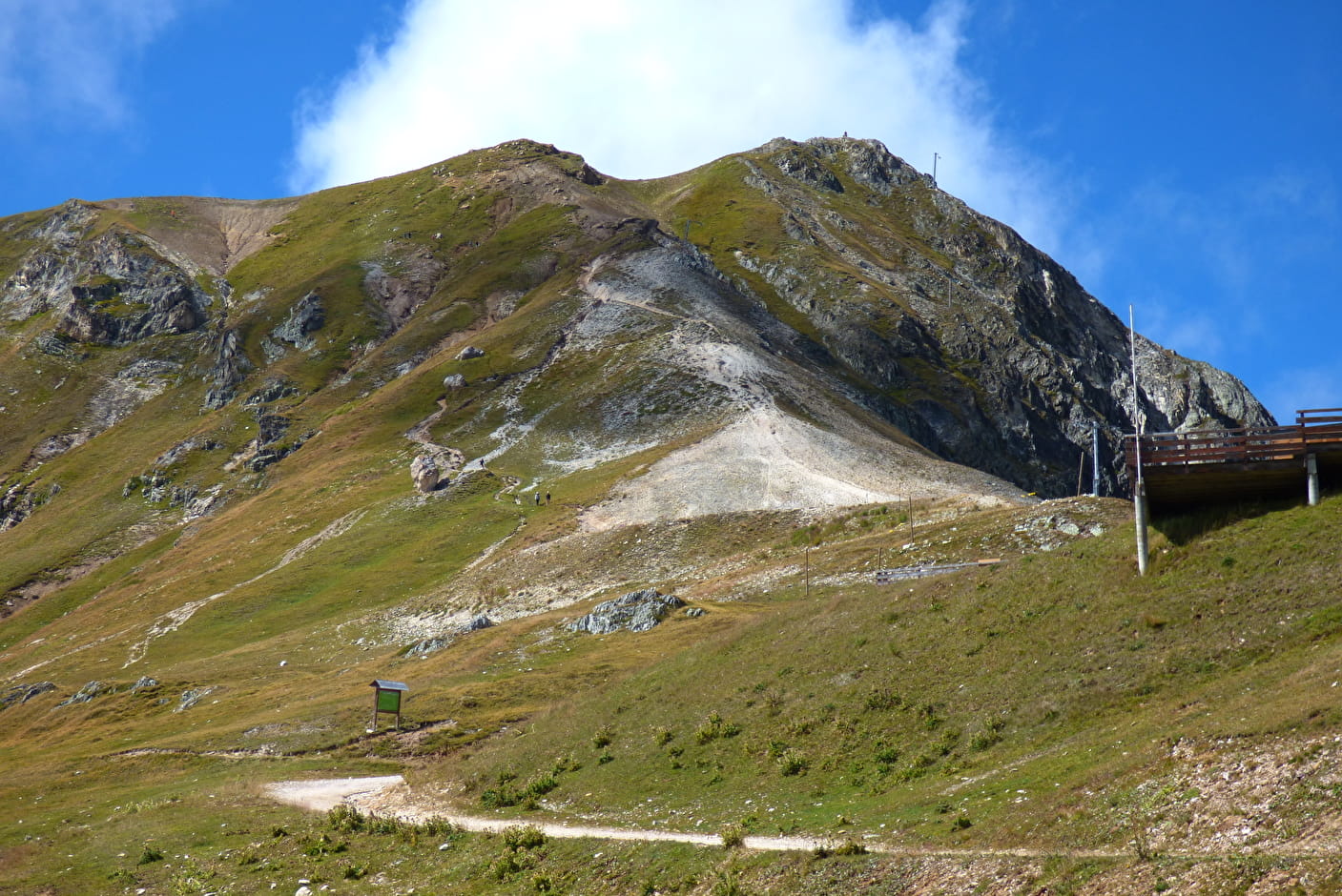
From the arrival of the Transarc (which you take at Arc 1800,) (2 570 m) take the direction of the Aiguille Grive by following the north ridge to the shoulder, then to the summit where the orientation table (2 733 m) explains the whole Mont Blanc range. In the distance: the Matterhorn, the Grand Paradis, the Meije...
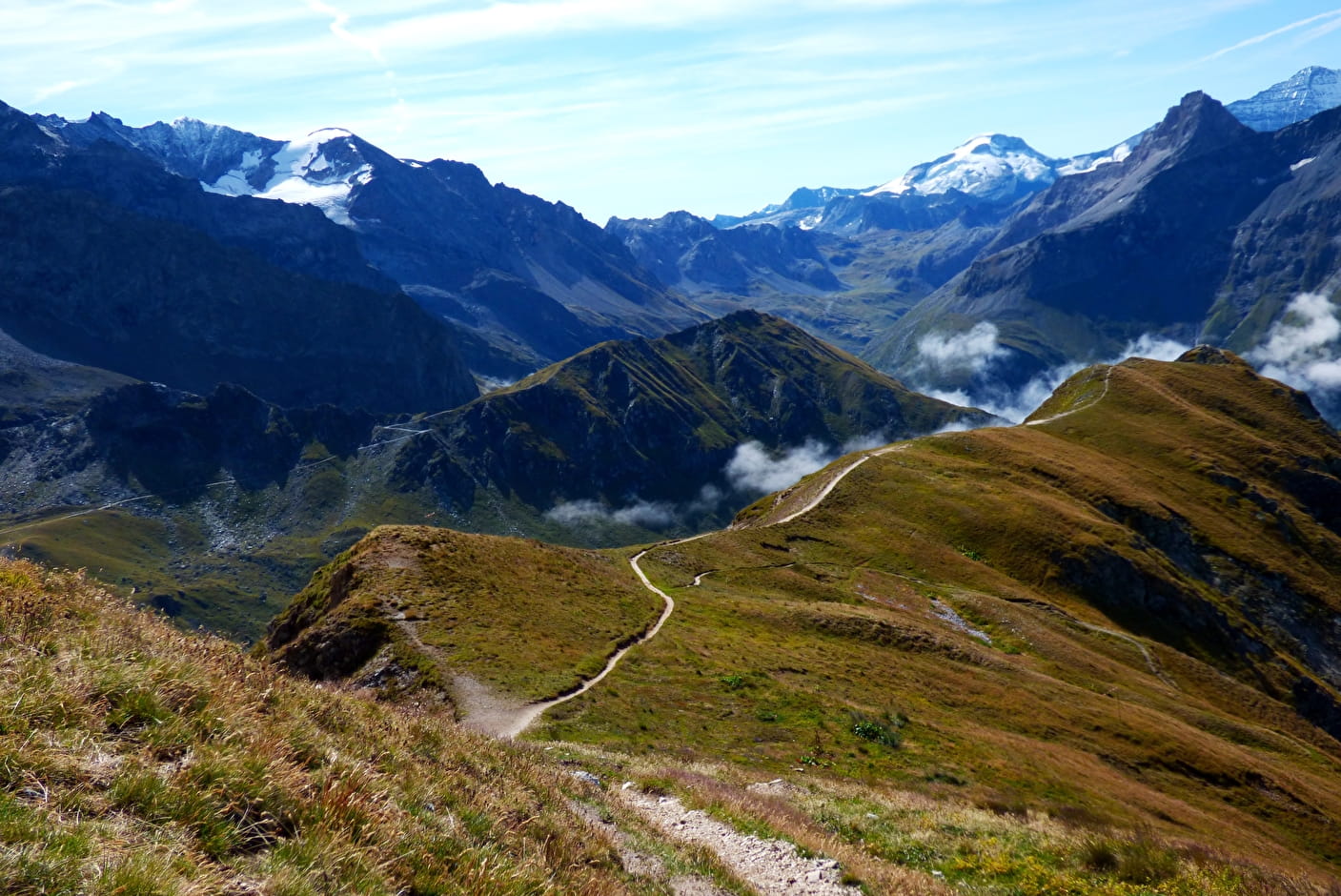
You go down the other side to the Entreporte pass (2 389 m). Then we return south to the Plan des eaux mountain pasture (ruins at 2,378 m) following an old canal or the pastoral track. Climb back up to the Col de la Chail.
It is of course possible to do this loop starting from the col d'Entreporte, for those who arrive courageously from the valley on foot. However, the fact that you can take the cable car up to the top puts this panoramic summit within reach of those who would not have been able to walk as far!
Prices
Free access.
Reception
Period of practice
From 15/05 to 31/10.
Remember to contact your Tourism Office to learn about the feasibility of the paths.
- Pets welcome
Contacts
Access
At the descent of the transarc 2 take direction col de la Chail then direction aiguille Grive