- Sport
Hiking trail: Le Revers
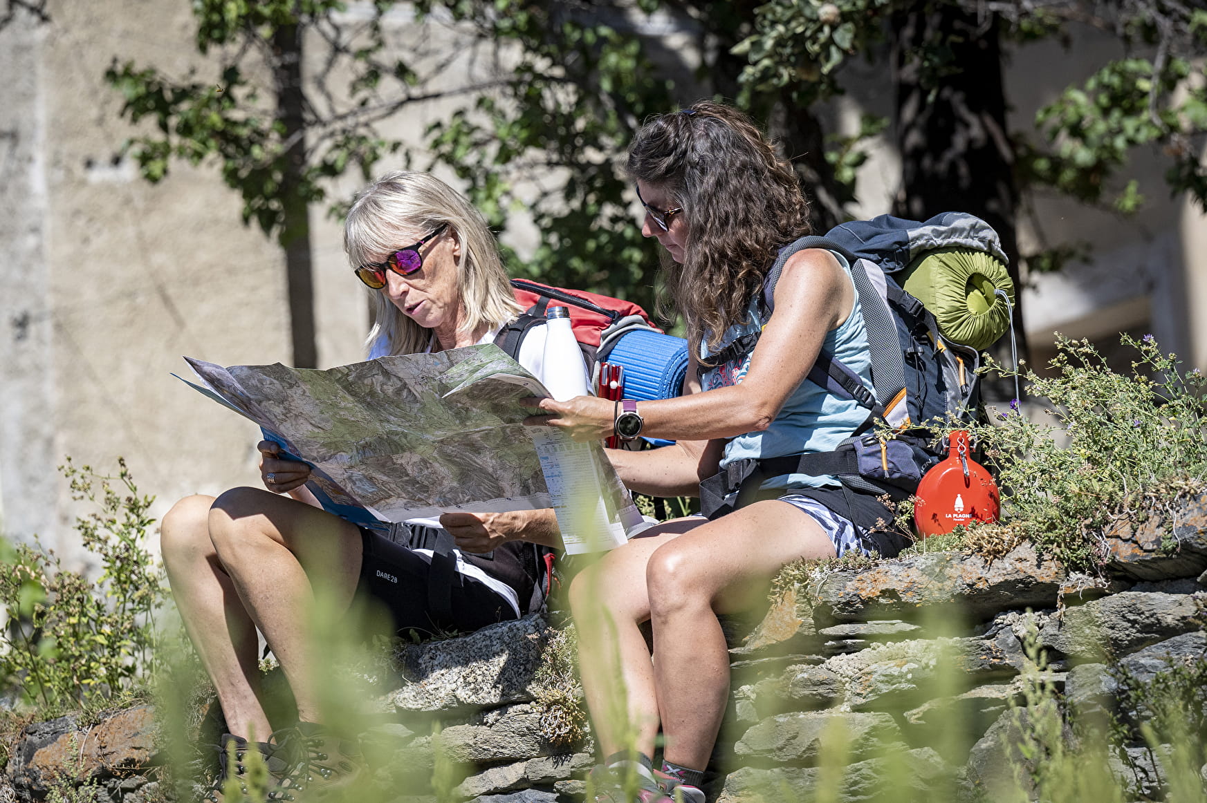
An easy path through forest and clearings that will take you through the hamlets of Plangerland, Planchamps, Montvilliers and Longefoy. A lovely walk with exceptional views of the valley. You come back up on the Longefoy heritage trail.
About

Further informations
Stone, Ground

Start from Le Chaillet car park
1/ Walk up Pravendu ski run to the fork with the Biodiversity trail
2/ Go down the path into the forest
3/ You will come to the village of Plangerland, with its covered water basin and small chapel.
4/ A little further on you will discover Planchamp, a charming little village on a pretty plateau, with the small chapel of St. Grégoire to the west and and an old lime tree that is several hundred years old at its foot.
5/ After going through the village of Longefoy along the canal, take the heritage theme trail by the mill to return to Montalbert.
6/ Variant: After the first fork and descent in the forest, turn left and keep walking down. After walking past a reservoir, keep going towards Planchamp village and rejoin the main route at the entrance.
Reception
Period of practice
All year round.
- Pets welcome
