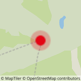
DEPARTURE: Mont Lachat (top of the chairlift of La Logère).
ROUTE: From the summit of the chairlift, turn right between the chalet ESF and the ski lift then left the forest track to join SOUS LE LACHAT. Continue on the trail to the REFUGE DU LACHAT and turn left on the trail to LA GRANDE MOUILLE. Follow the path then turn left on the track towards MANSTU. Continue on the trail until ENTRE DEUX BOIS, go up on the path towards LES RENARDS. From there, take the track on the right in direction of the AYES, UNDER LE LACHAT, then on the left to join the starting point.
POINT OF INTEREST :
- Between the Cross of Ayes and Under the Lachat, the route runs along the peat bog. If you want to know more about this natural environment, very rich but very fragile, there are three discovery trails: Les Arpelières, the Tour des Saisies - Beaufortain - Val d'Arly, and La Mouille de Covetan. Information at tourist offices.
- Sport
A little tour at Mont Lachat
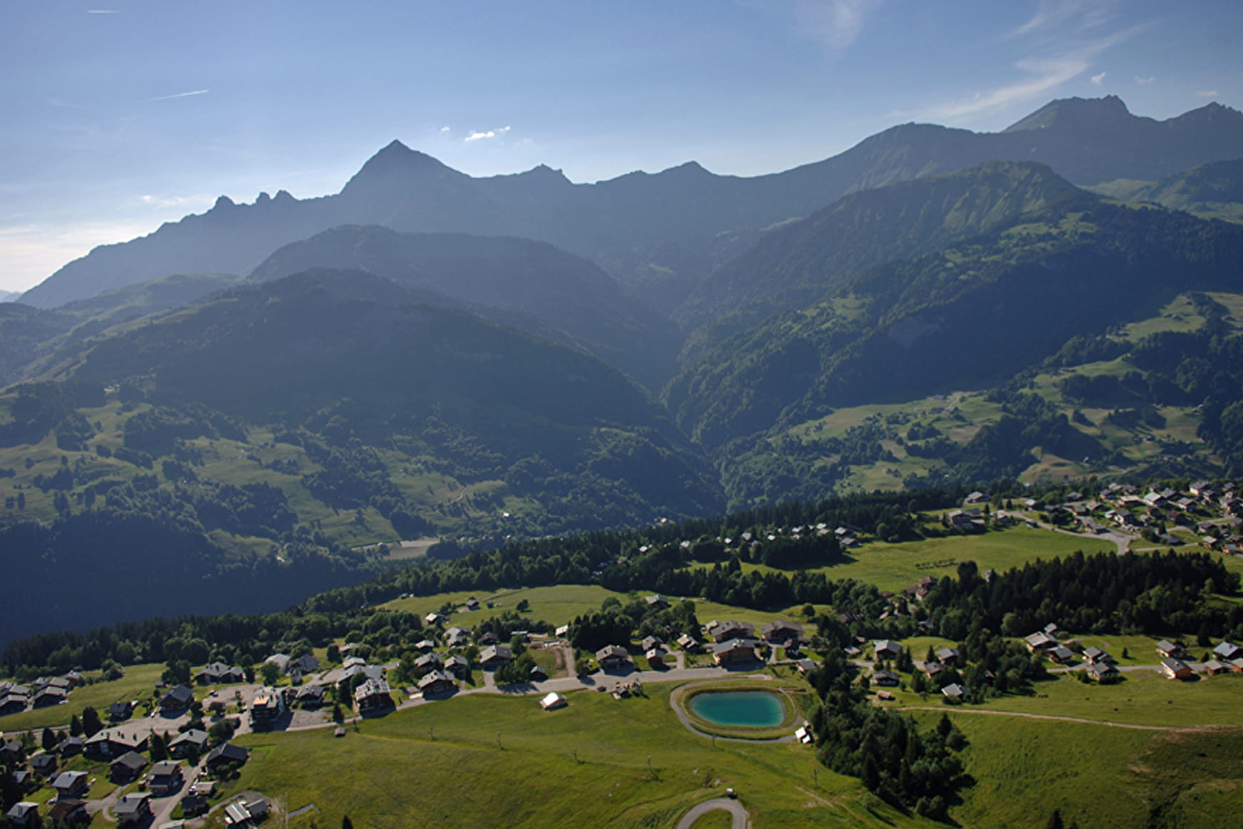
Walk on the paths in balcony around Mont Lachat with superb views of the Aravis mountain chain and the Mont Blanc massif.
Sport A little tour at Mont Lachat Crest-Voland
About

Signs
Marked with yellow signs.
Topoguides references
Walking and hiking map of the Val d'Arly for sale at 9 € or Topo Walks and Short hikes on sale at € 4 in the tourist offices.
Prices
Walking and hiking map of the Val d'Arly for sale at 9 € or Topo Walks and Short hikes on sale at € 4 in the tourist offices.
Methods of payment accepted : Check, Bank/credit card, Cash
Reception
Dogs must be kept on a leash because of the presence of herds.
Period of practice
From 01/06 to 30/09.
Services
- Pets welcome