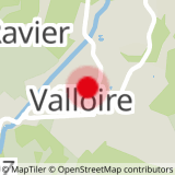
To activate geolocation, click on the map icon.
Technical level: green.
Physical level: easy.
Estimated duration: 1 to 2 hours.
- Sport
5 - Promenade aux Verneys
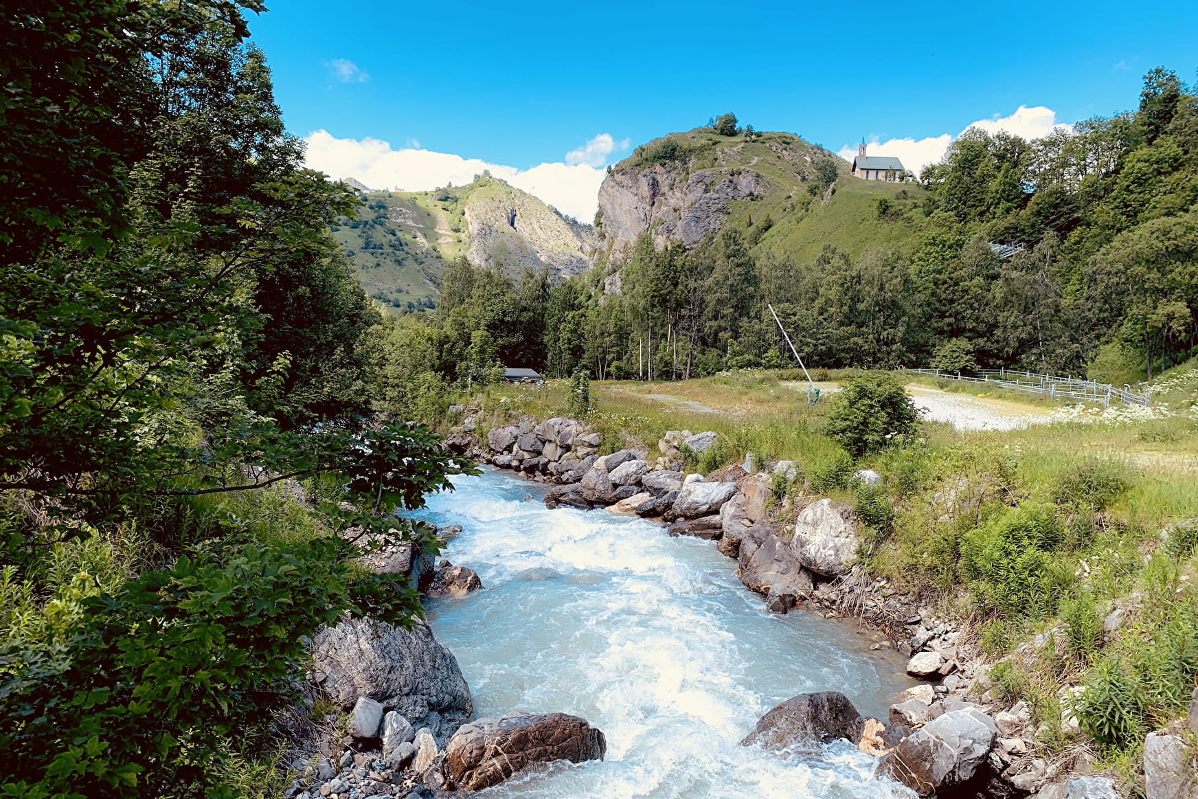
This wooded route will take you to Les Verneys where the straw and hay sculptures are exhibited. Appreciated by families and beginners, this walk runs along the river and passes through the new bike park. Take the opportunity to discover its different workshops!
Sport 5 - Promenade aux Verneys Valloire
About

Signs
The trail is marked with signs.
Topoguides references
Valloire hiking and mountain biking map.
Further informations
Stone, Ground, Hard coating (tar, cement, flooring), Grit
1 1

Precautions:
- The routes you take are your own responsibility. You must choose a route adapted to your physical and technical capacity. If in doubt, do not hesitate to contact mountain professionals.
- Find out about the weather conditions before your departure.
- Be properly equipped to practice hiking in complete safety and deal with the vagaries of the weather.
Tell someone if you are leaving alone and prefer a morning departure so as not to be surprised by the night.
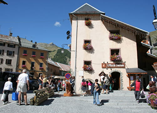
Departure - From the tourist office, head up Rue des Grandes Alpes towards the hamlet of Les Verneys 1 - Once you've crossed the bridge, walk along the parking lot to take the footbridge on the left of the D902 to follow the "Vita Vittel" fitness trail. 2 - In front of the riding school, turn right over the Valloirette bridge, then cross the D902 to go up to the hamlet of Les Choseaux. 3- Continue as far as Les Verneys, where the straw and hay sculptures are on display. 4- Cross the Valloirette again on a wooden footbridge, then turn left on the path to La Ruaz. 5 - Return to Valloire on the same route as the outward journey. On the way down, you can enjoy the Valloirette bike park with its fun downhill course.
Prices
Free access.
Reception
Period of practice
From 17/04 to 23/10.
Subject to favorable weather.
Services
- Pets welcome
- Accommodation
- Restaurant
- Bike repair
- Car park
- Free car park
- Public WC
- Charging stations for electric vehicles
- Picnic area