Mountain bike marked circuit n°3 variant (8 km)
Loops to discover the place smoothly... From the roundabout, ride along the secondary road towards Novalaise during 200m. Take the path on the right going North (back to the lake) 50 m after the bridge on the Leysse.
After riding along the Leysse on paths, you will join the busy road of la plaine du lac to go under the highway. Be aware that it is better to stop before crossing and then finding the edges of the Leysse back on a narrow path.
Turn right just before an old sawmill (bridge on the Leysse) to rejoin the flowery hamlet of the Gollets.
On its exit (summit of circuit N°2), on the right, an undergrowth path enables you to join the edge of the lake.
If you go on (circuit n°3), climb towards the church and continue on the road till "Villard". Short descent on the right on the berm, then take an undergrowth path on the left on a rolling section that joins the crumbling of Chavaroche.
From there, you will start a slighty technical descent but very pleasant undergrowth, addicts will be pleased.
You arrive on a quiet and shady picnic area where you will be able to have a break (water point).
The descent rolls on by going left at the cemetery. This part is a bit technical at times. Once in the plains, take the road on your right and follow the markings that will guide you for the part under the highway.
- Sport
Mountain biking route 3 : Boucle de Nances (blue)
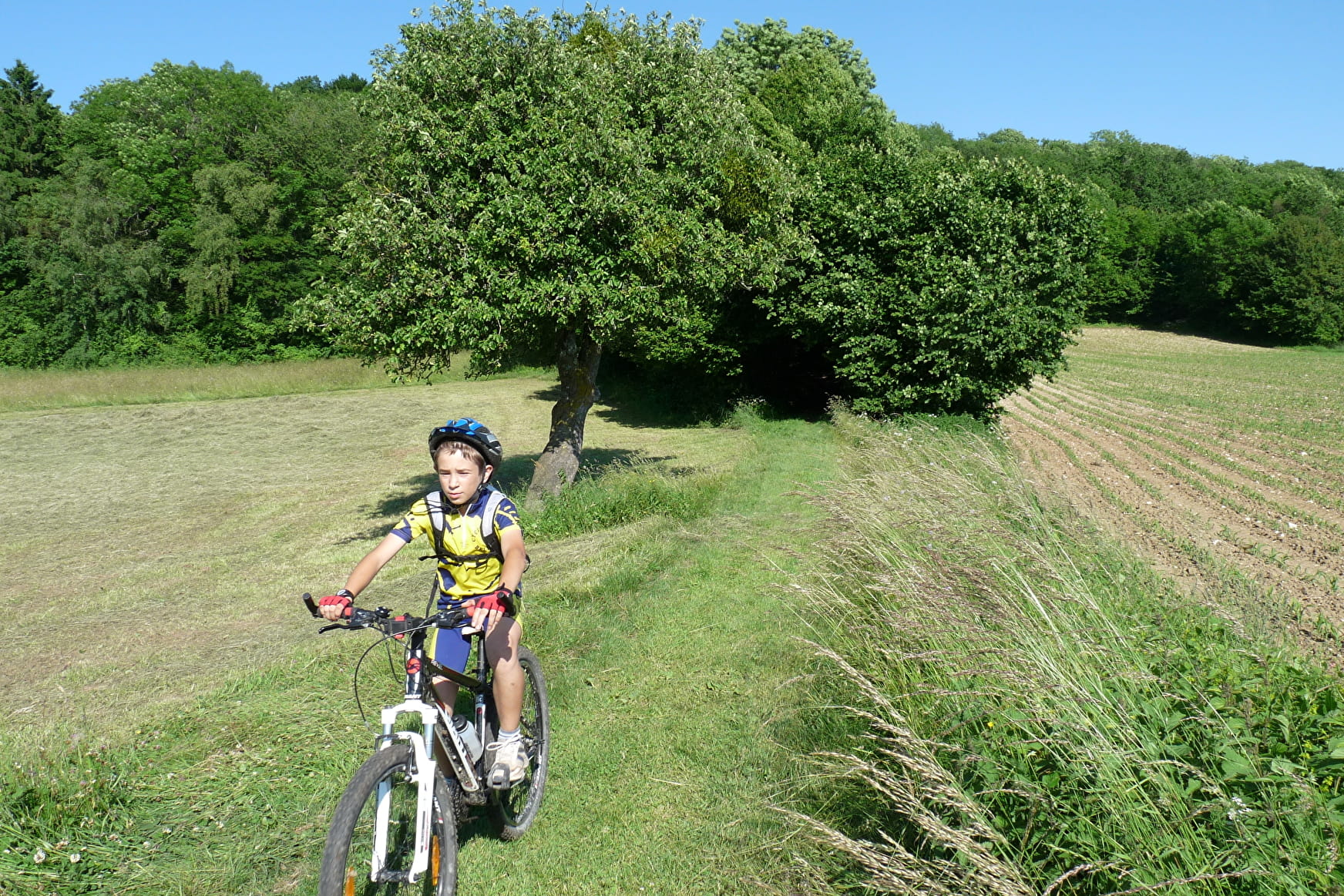
Easy level. Gentle loop for discovering the countryside.
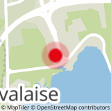
Sport Mountain biking route 3 : Boucle de Nances (blue) Nances
About