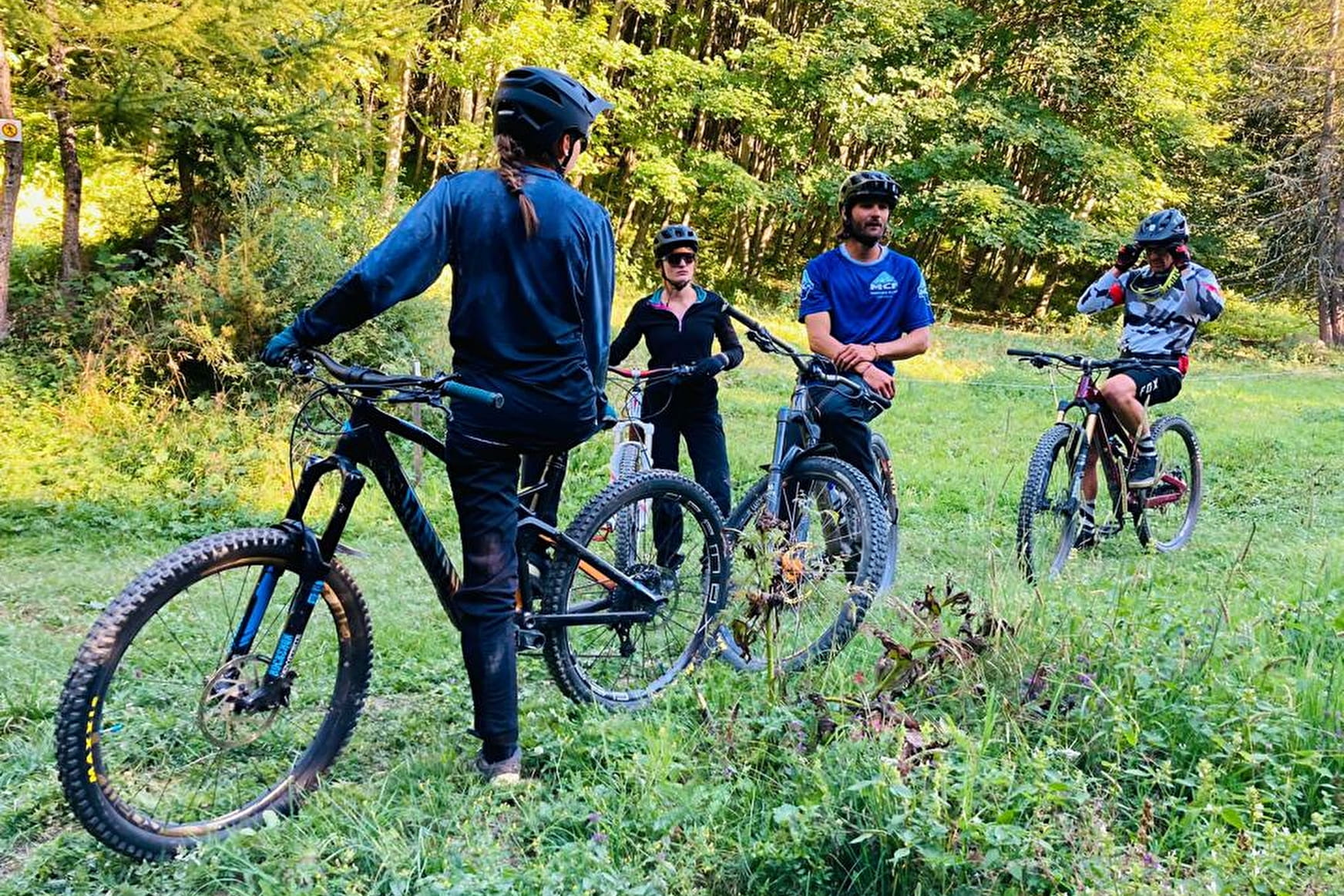
This easy route is suitable for both mountain biking and Enduro. The wide, medium-gradient track will give you your first taste of riding without scaring you.
You'll pass through forests and Alpine pastures. You can also see the Aiguilles d'Arves just before you reach the hamlet of La Villette.
- Sport
Enduro itinerary - Legend
Starting from Place Opinel, follow a forest trail that leads to a breathtaking view of the Aiguilles d'Arves before reaching Le Collet through the forest.
Sport Enduro itinerary - Legend Albiez-Montrond
About

Signs
At the start, you'll find numbered signposts all along the route, in the color of the route's difficulty.
Map references
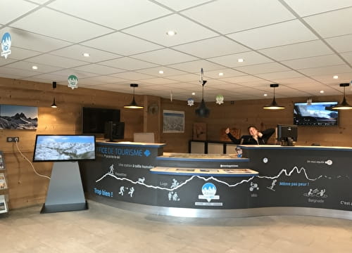
Map of the Albiez Enduro Park. Available free of charge from all tourist offices in the valley.
Topoguides references
Map of the Albiez Enduro Park. Available free of charge from all tourist offices in the valley.
Further informations
Ground
Prices
Free access.
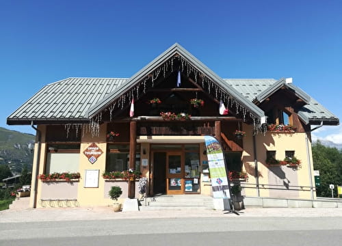
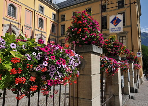
Reception
- To ride this route in complete safety, you'll need a suitable enduro mountain bike, helmet and gloves.
- This itinerary is also used by hikers, so please be vigilant and courteous with them.
Period of practice
All year round.
Subject to favorable weather.
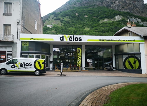
Equipments
- Parking nearby