A gentle ride around the altiport on this small plateau with a great view over the valley and the Vanoise mountains. Stop at the village of Sollières to visit the Archaeology Museum.
- Sport
Cross-country : Les Portes
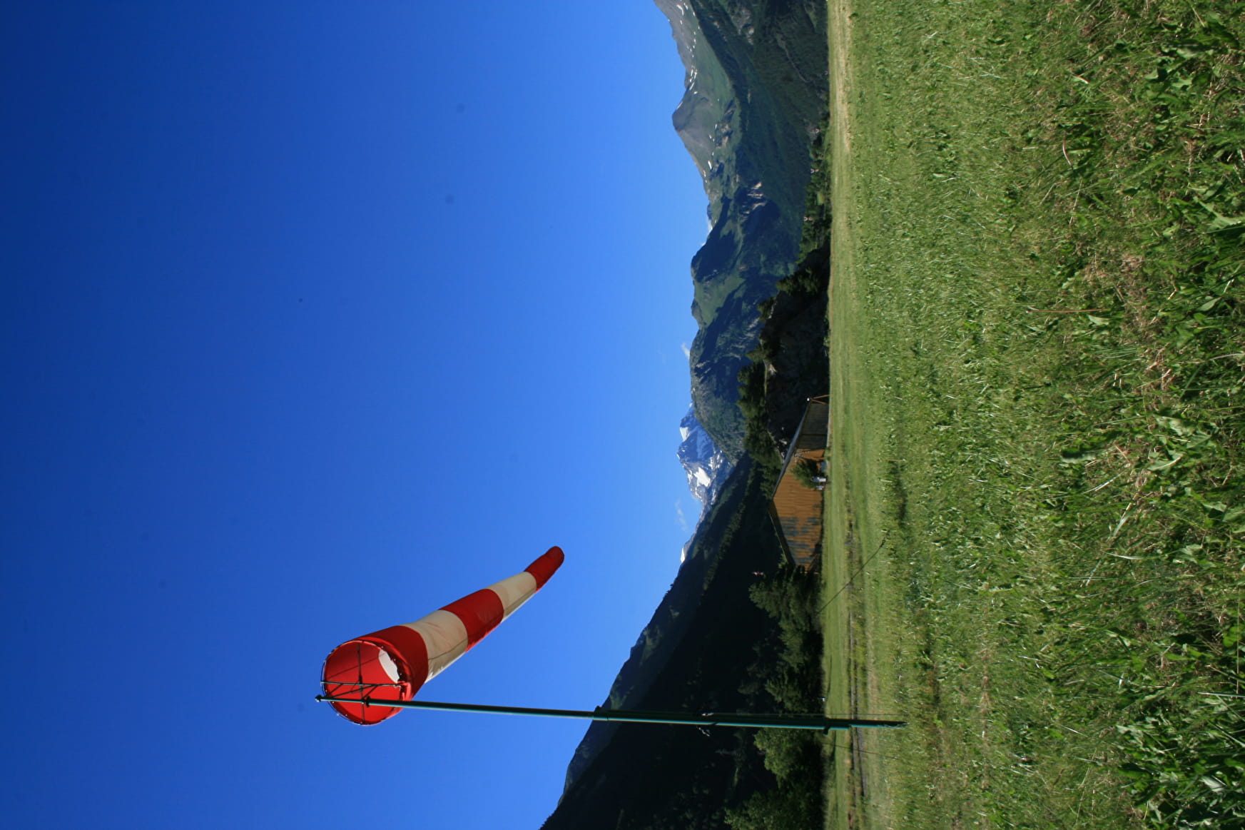
A lovely gentle family ride around the altiport, ideal with children.
Sport Cross-country : Les Portes Val-Cenis
About

Signs
French Cycling Federation markings (cross-country)
Map references
Haute Maurienne Vanoise mountain bike map sold for €4 at Haute Maurienne Vanoise Tourist Offices.
Topoguides references
Haute Maurienne Vanoise mountain bike booklet sold in the Tourist Offices
Further informations
Stone, Ground, Grit
Prices
Free access.
Reception
Period of practice
From 01/05 to 01/11.
Subject to favorable snow and weather conditions.
Services
- Pets welcome
- Parking nearby
Contacts
Access
The trail starts at the Le Chenantier municipal campsite in Sollières.
I'll get there by bus: Line S53 - Les Favières stop (in summer, bus equipped with a bicycle trailer - ask about days and times).
By car: park in the campsite's right-hand parking lot.