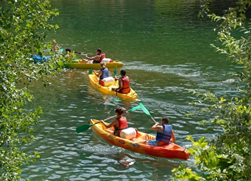
- Sport
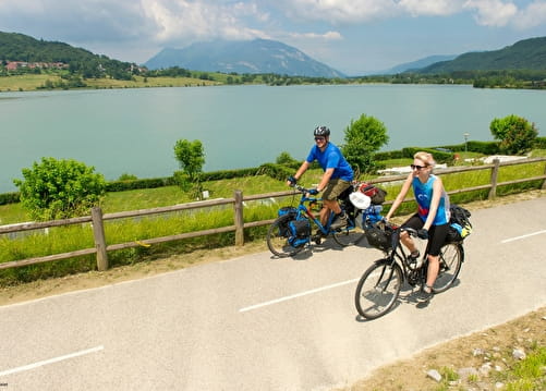
Via Rhôna : Seyssel to Belley
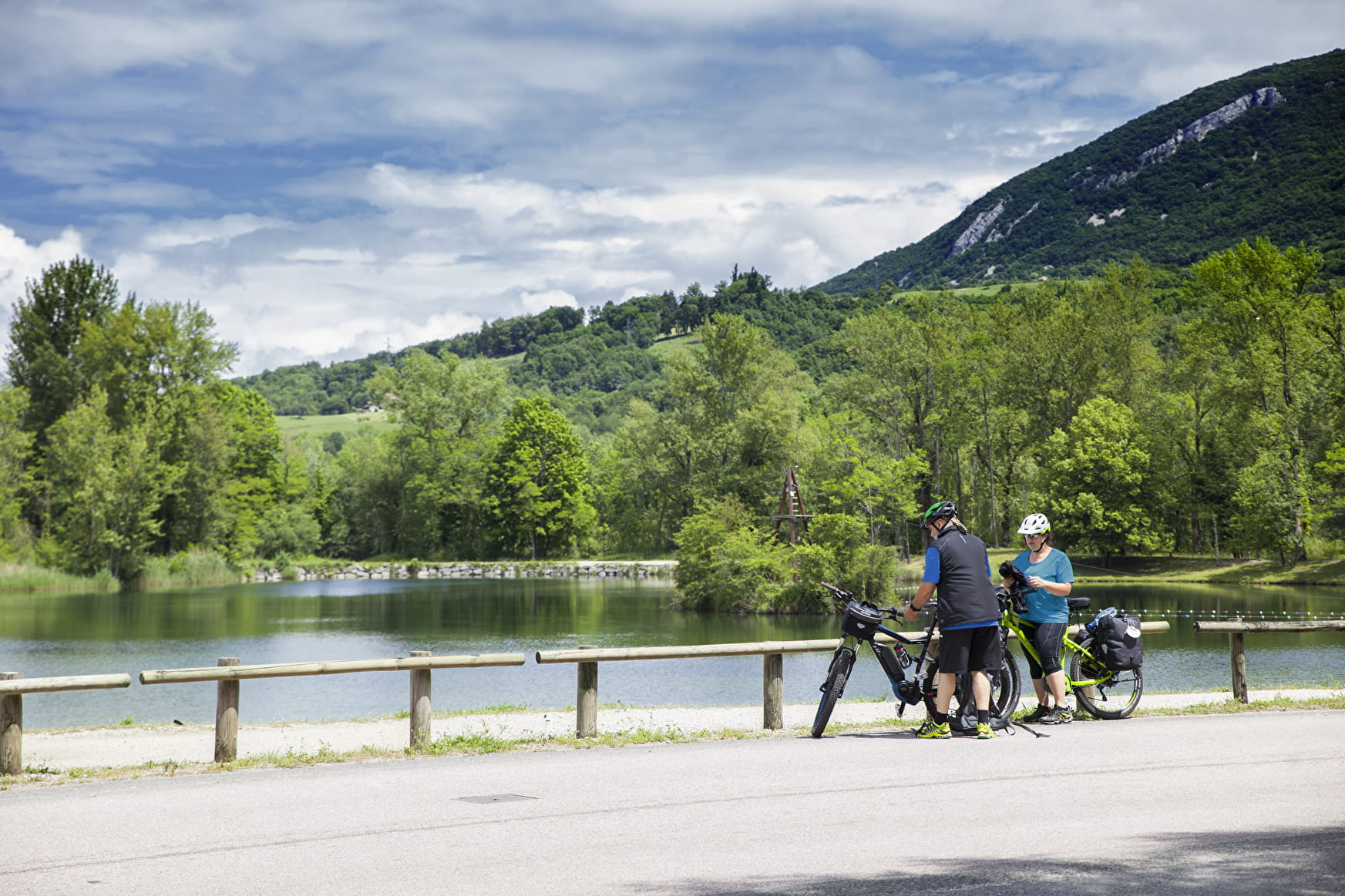
Well indicated, along the Rhône on a bike, roller skates and on foot.
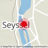
Sport Via Rhôna : Seyssel to Belley Seyssel
About

Further informations
Hard coating (tar, cement, flooring)
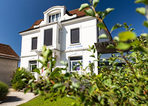
Reception
Equipments
- Public WC
- Car park
- Charging station for 2 electric wheels
- Picnic area