- Sport
Parcours VAE : Col de Leschaux, Bellecombe en Bauges
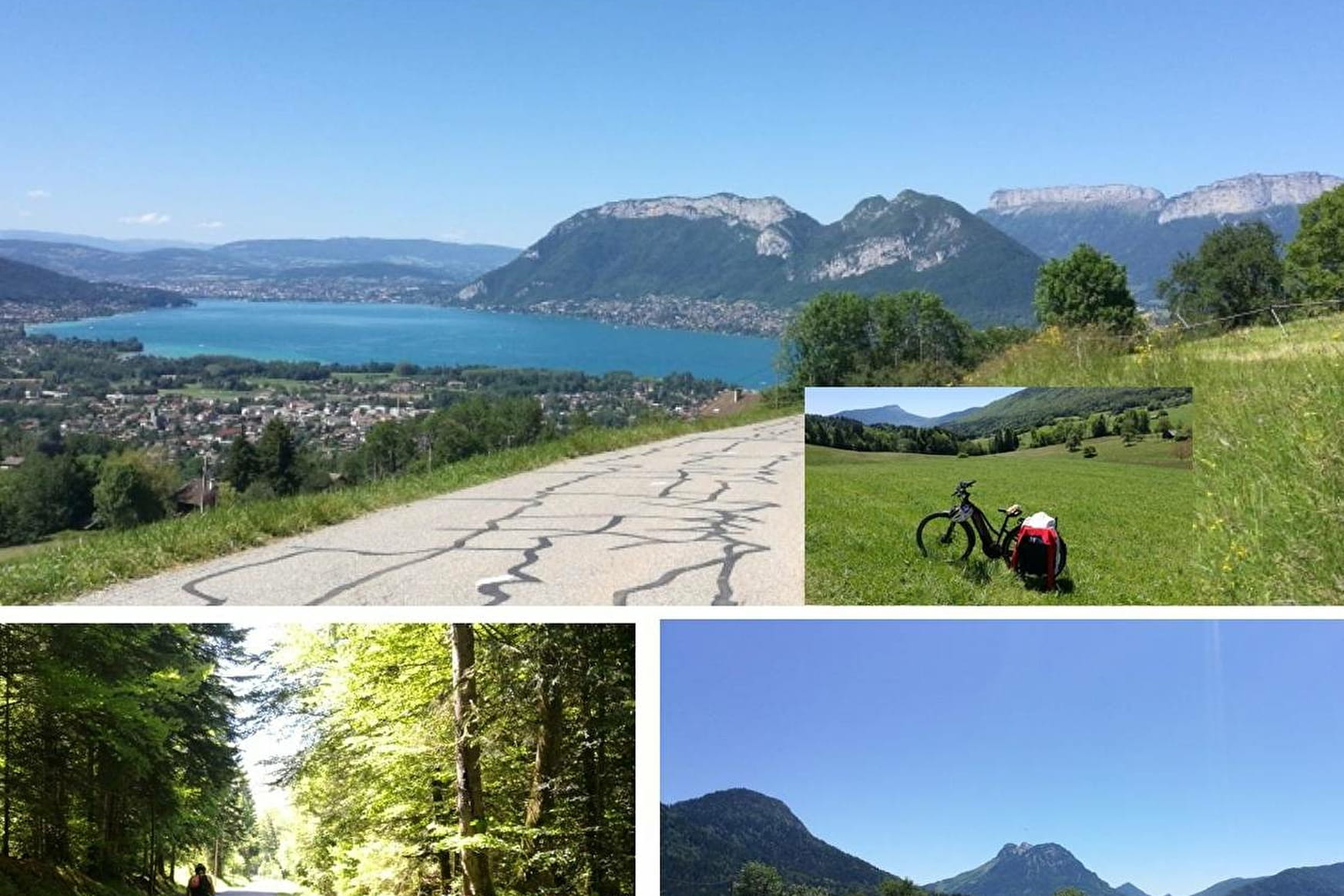
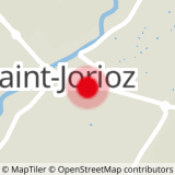
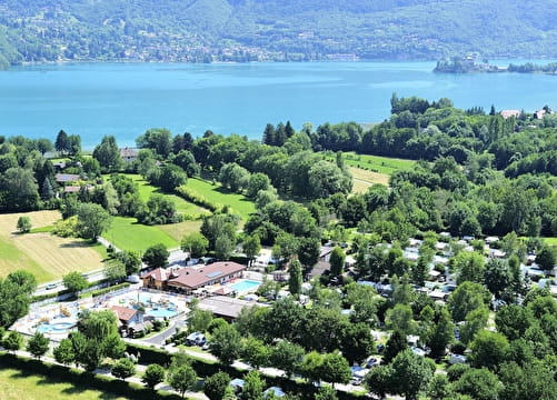
Sport Parcours VAE : Col de Leschaux, Bellecombe en Bauges Saint-Jorioz
About

Further informations
Hard coating (tar, cement, flooring)
Prices
Free access.
Reception
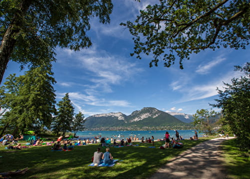
Period of practice
All year round.
Subject to favorable snow and weather conditions.
Contacts
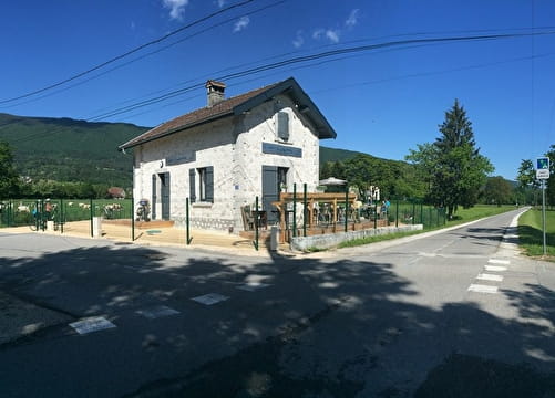
Access
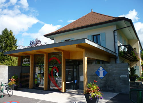
Access via the cycle path from Annecy or Duingt - exit route du port in Saint-Jorioz, at the roundabout on the left - pass the tourist office and turn right onto the route du Villard.