• Sport

Mont du Chat from the west

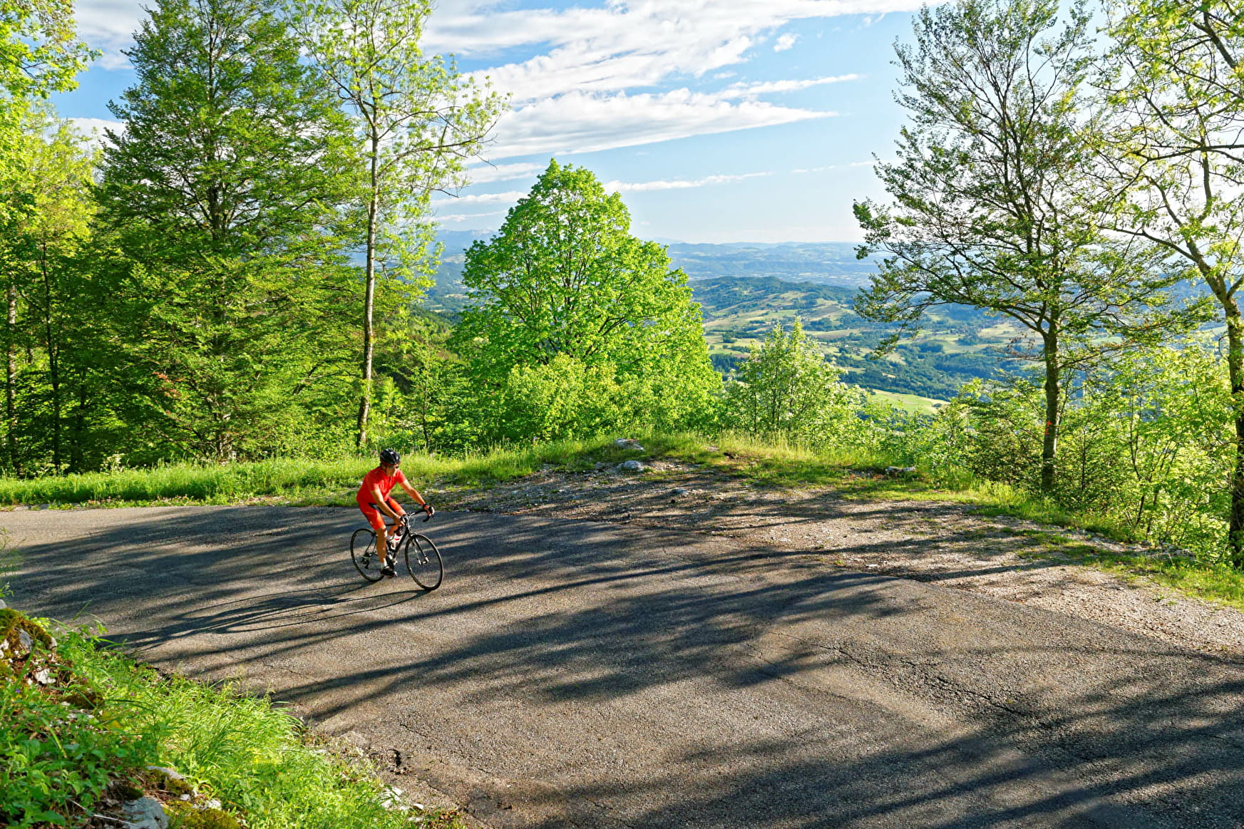
1190 Points – The west side of Mont du Chat is almost as difficult as the east, with an average gradient of 9.7% for 10 km and a 5-km section at 11.7%. Superb views of Lake Bourget and the Bauges and Belledonne Mountains from the summit.

Sport Mont du Chat from the west Saint-Paul-sur-Yenne

About

Departing from Saint-Paul-sur-Yenne (73170)
Average length : 02h00
Total elevation gain : 1272m
Distance : 18.5km
Signed walking trail

Itinerary
Total elevation gain : 1272m
Altitude max : 1501m
    1 2

    Prices

    Free access.

    Reception

    Animals not allowed

    Period of practice

    From 15/04 to 15/11.

    Access

    Route du Pont Mercier 73170 Saint-Paul-sur-Yenne
    Departing from : Saint-Paul-sur-Yenne (73170)
    Latitude : 45.676914 - Longitude : 5.784945
    Information update on 19/12/2023 by Agence alpine des territoires