The Madeleine is a true cycling legend, having featured in the Tour de France 25 times since the war - more than any other pass in Savoie.
- Sport
Col de la Madeleine from the north
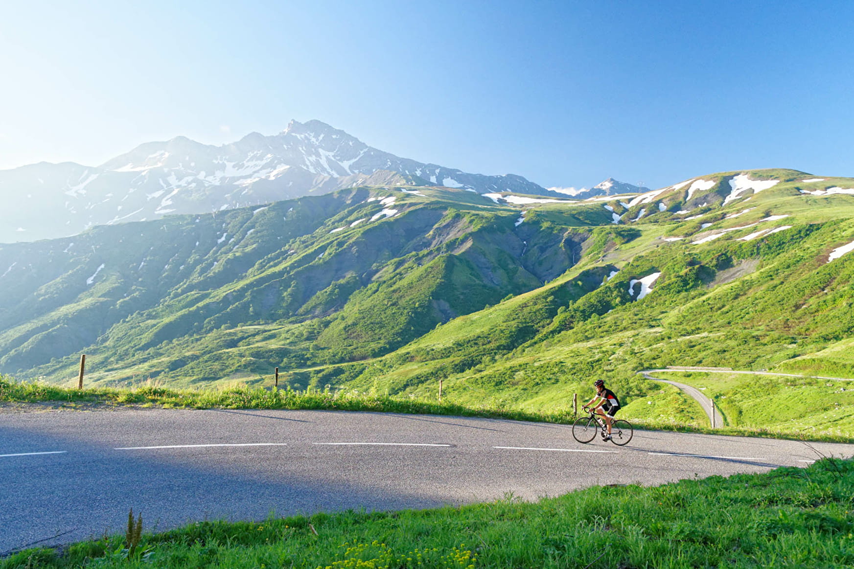
The Col de la Madeleine, between the Tarentaise and Maurienne Valleys, can be reached via three roads, all of which feature in the list of the area’s 15 most difficult climbs.
The road has been fitted with kilometre posts for cyclists.
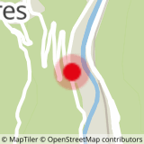
Sport Col de la Madeleine from the north La Léchère
About

1 1

Prices
Free access.
Reception
Period of practice
From 01/06 to 31/10.