Itinerary suggested by the Trail du Galibier organization,
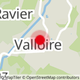
To activate geolocation, click on the map icon.
- Sport
The "Pom-Pom" - Trail Itinerary
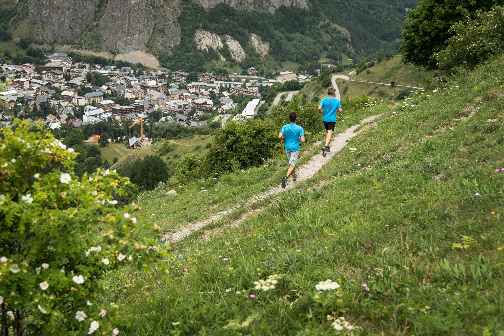
This course without technical difficulty is aimed at a wide audience. To reach its highest point, you will pass by the Devil's Bridge before taking a pretty single track in the forest. You will then descend via a pretty balcony path.
Sport The "Pom-Pom" - Trail Itinerary Valloire
About
1 2


Departure point: Auberge D+. 1 - After touring the town center, head up Rue des Grandes Alpes to cross the bridge towards Col du Galibier. 2 - At the Chapelle Saint Bernard, follow the path up to the Chapelle de Poingt-Ravier. 3 - From the fountain, take the single track towards the gorges de l'enfer. 4 - Cross the Devil's Bridge and continue your ascent through the forest. 5 - At the top of the old Crey Rond chairlift, follow the balcony path to the Balais alpine chalets and then to Beaujournal. 6 - Continue towards the Arolles chalets to reach the hamlet of Les Verneys. 7 - Descend to cross the D902 road and the Valloirette river. 8 - After the bridge, take the path on the left which runs alongside the river on the right bank for 300m, before turning right onto a bucolic single which takes you around the Rocher St. Pierre on the east side to the finish.
Your security:
- Keep in mind that you are riding in mountain areas with sometimes technical trails, significant elevation where weather conditions can change quickly.
- Don't overestimate your abilities
- Check the local weather forecast before leaving / www.meteofrance.com / tel: 3250
- Anticipate and adapt your clothing according to the sectors traveled and provide a survival blanket, windbreaker and whistle.
- If you are going alone, leave information about your itinerary with those around you and make sure you have a charged mobile phone.
- Always provide a reserve of water.
- Stay on the marked paths.
- Be careful of electric fences.
- During hunting season (September to January) and near big game hunts, show your presence.
- Help: in case of emergency contact 112
Your environment:
- Respect private property.
- Do not light a fire.
- Keep your waste and bring it back.
- Respect fruit production and do not cross cultivated fields.
- Do not frighten the cattle.
- Close the park barriers after your visit.
- Respect the direction of the routes.
- Be careful and courteous when overtaking and crossing hikers.
Prices
Free access.
Reception
To keep the mountains a pleasure, choose an activity suited to your level of experience and physical ability. Check the weather and seek advice from qualified professionals, and tell someone about your itinerary. Set off with the right equipment: good shoes and walking poles. In your rucksack, carry a water bottle and snacks to keep your energy levels up, a survival blanket or warm clothing. Protect yourself from the sun with sunscreen and sunglasses. Don't forget binoculars to add a touch of observation to your adventure.
Unsuitable practice with a dog.
Period of practice
From 20/04 to 01/11.
Subject to favorable snow and weather conditions. Cancelled in case of bad weather.
Services
- Restaurant
Contacts
Access


