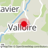
To activate geolocation, click on the map icon.
In winter, risk of avalanche in this area from level 3/5 this route is not recommended.
- Sport
Poingt Ravier - Hiking itinerary
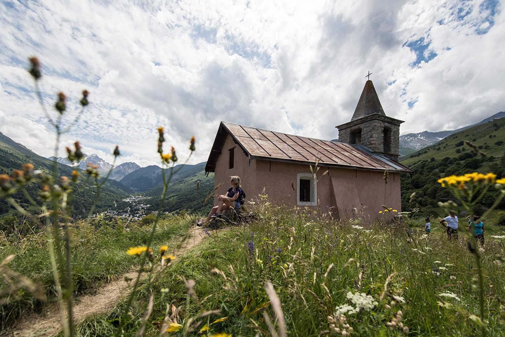
This walk is mostly on minor roads. The view from the chapel in the hamlet of Poingt Ravier is magnificent.
Sport Poingt Ravier - Hiking itinerary Valloire
About

Difficult passages
In winter, as there is a risk of avalanche in this area from level 3/5 upwards, this route is not recommended.
Map references
Map of Valloire hiking and mountain biking trails, on sale at the tourist office. IGN map 3435ET VALLOIRE - Aiguilles d'Arves / Col du Galibier is on sale in Valloire shops.
Further informations
Hard coating (tar, cement, flooring)
1 1

Start - From the tourist office, take rue des écoles
1/ Cross the bridge and pass the campsite
2/ Walk past the tennis courts and cemetery towards the hamlet of Villard.
3/ Once in the center of Poingt Ravier, continue towards the chapel for a 360° view of Valloire.
4/ Return by the same route
When hiking, there are a few things you can do to make your experience safer and more enjoyable. Walking poles (even on roads) improve balance in icy conditions, crampons provide grip, and regular hydration is essential.
Carry a water bottle and snacks to keep your energy up. Protect yourself from the sun with sunscreen and sunglasses. Don't forget binoculars to add a touch of observation to your adventure.
Finally, check weather conditions and avalanche risks before you set off. Inform someone of your itinerary, as communication may be limited. These small adjustments will help you make the most of your getaway.
Prices
Free access.
Reception
To keep the mountains a pleasure, choose an activity suited to your level of experience and physical ability. Check the weather and seek advice from qualified professionals, and tell someone about your itinerary. Set off with the right equipment: good shoes and walking poles. In your rucksack, carry a water bottle and snacks to keep your energy levels up, a survival blanket or warm clothing. Protect yourself from the sun with sunscreen and sunglasses. Don't forget binoculars to add a touch of observation to your adventure.
Pets must be kept on a leash.
Period of practice
Closed temporarily.
Services
- Pets welcome
- Free car park
- Car park
- Picnic area
