The road surface is not bad, but there is a heavy traffic during the summer.
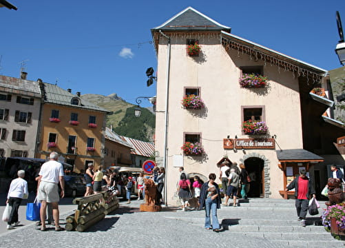
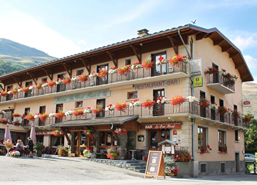
There are some fountains, restaurants and bike repair shops in Valloire.
It's also possible for you to discover the Valloire baroque church.
- Sport
Col du Galibier from Valloire
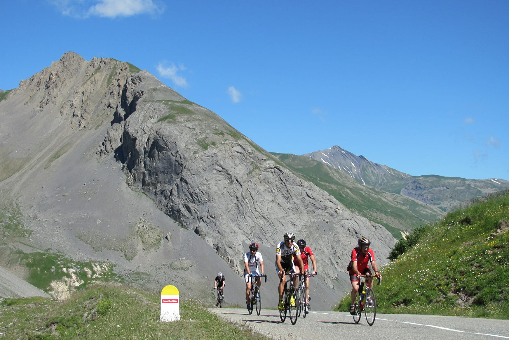
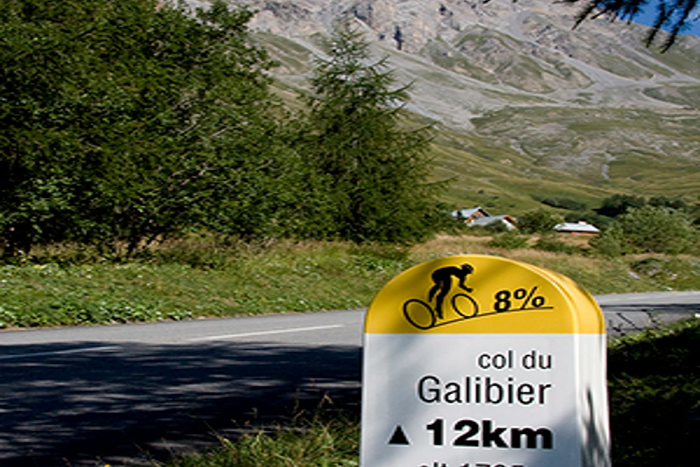
This will be enough for many cyclists! In fact, cycling the Galibier from Valloire is already an excellent achievement. The kilometre posts will help you pace yourself.
Sport Col du Galibier from Valloire Valloire
About

Difficult passages
The Galibier tunnel, 1 km before the pass, is closed to cyclists.
Map references
Vélo de Route" map of "La Maurienne, the world's largest cycling area" published by Maurienne Tourisme and available from all Maurienne Tourist Offices (subject to availability).
1 6


In Valloire, at an altitude of 1,430 m, 18 km at an average gradient of 6.9% to the Col du Galibier await you, but as soon as you leave the village, a gradient of over 8% takes you to the hamlet of Les Verneys. A quieter 2 km brings you to the hamlet of Bonnenuit, where the climb continues to Plan Lachat and its short flat area. Once over the little bridge with its right-hand bend, there are 8 km to go at an average gradient of 8.5%, and the climb exceeds 2,000 m in altitude. You then enter a high mountain setting, and it's only three kilometers from the summit, on a small "flat spot", that you can see the summit of the Col du Galibier in the rocks. The pass in front of the tunnel (forbidden to bikes), at 2,556 m, almost heralds the end of the ascent, but with the last km at an average of 9%, the effort remains sustained all the way to the summit.
Reception
Period of practice
From 01/06 to 31/10.
Depending on the weather.
Equipments
- Parking nearby
- Public WC
- Bar
- Picnic area
- Orientation board