

Early in the morning, the dewdrops look like diamonds clinging to the tall grass. Then you smell the resinous scent of Scots pine warmed by the rising sun. Welcome to an island with a particularly dry climate. It's home to rare species that can withstand the aridity. On the banks of the river, you'll appreciate the contrast of freshness in all seasons. Don't forget to look up at Mont froid and the Bramanette mountain pasture. The Val d'Ambin is calling you!
Caution: the trail may be blocked by sheep pen nets. Protection dogs present.
- Sport
Botanical trail
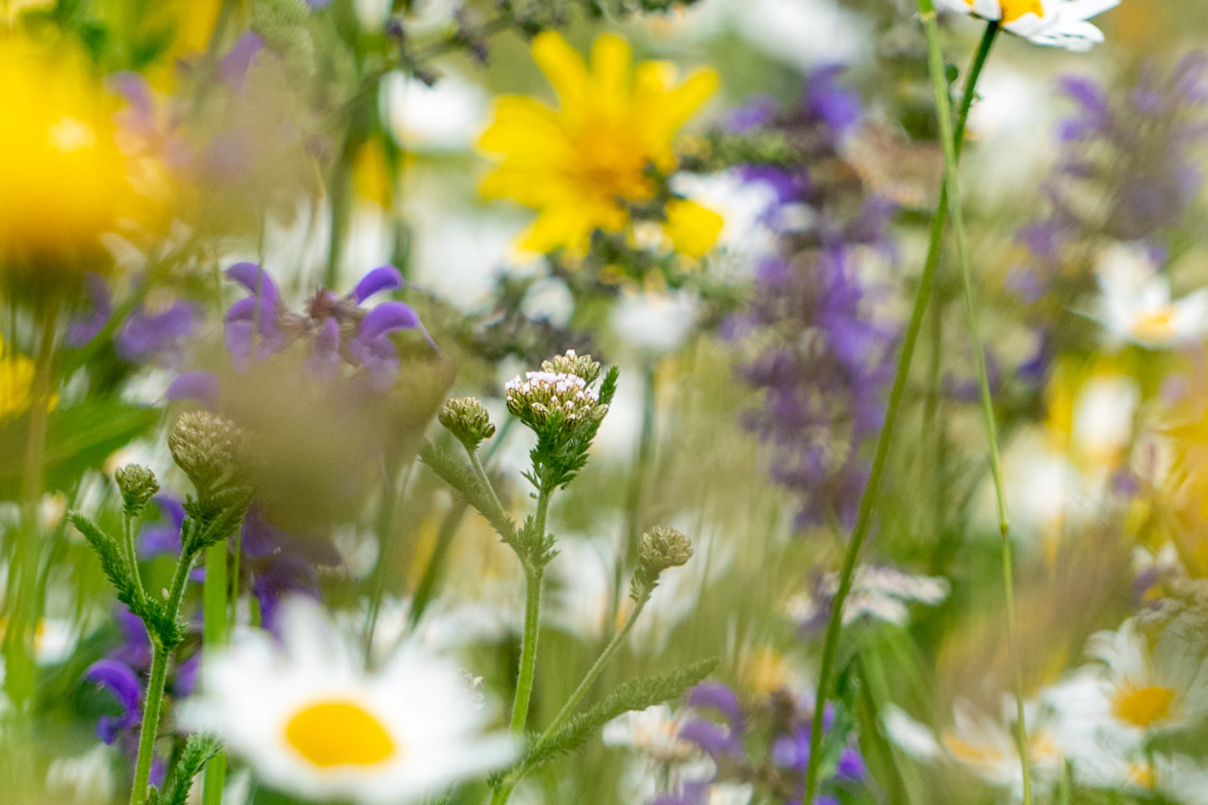
Take this trail for an easygoing journey on the sunny side of the mountain,
to get to know the mountain zone better. In early summer, it's decked out
in splendour. Nature reveals its secrets.

Sport Botanical trail Val-Cenis
About

Signs
Departmental signposting (PR)
Map references
Map and booklet "Haute Maurienne Vanoise. 103 walks and hikes - 38 trail trails. For all levels" (sold for €10 in Tourist Offices)
Topoguides references
Green route n°18
Prices
Free access.
Reception
Pets allowed on leash only.
Period of practice
Closed temporarily.
Services
- Pets welcome
Contacts
Access
By bus: Line S53 - Lenfrey stop
By car: park near the Mont-Froid garage.