Along the way, discover the villages of Seytroux, Le Biot, La Baume, the Jotty dam and the superb Mont Ouzon.
A trail partly in the forest, where you can enjoy the natural coolness of summer.
- Sport
Hiking: from hamlet to village
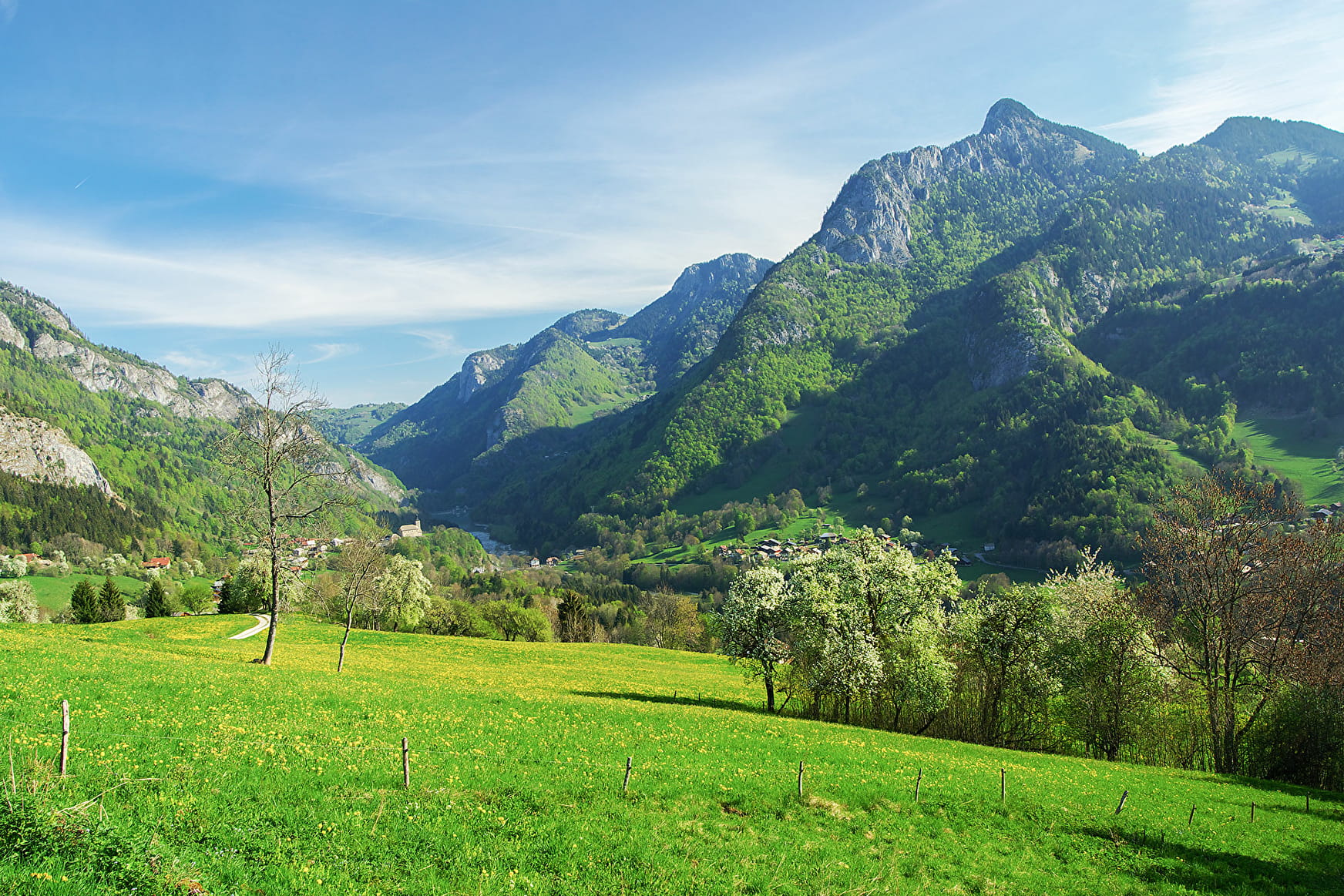
Discover the picturesque hamlets and villages of the Vallée d'Aulps: a hike where nature and culture intermingle along the way. Our cultural heritage, surrounded by a remarkable natural environment, will hold no secrets for you!
Sport Hiking: from hamlet to village Saint-Jean-d'Aulps
About

Signs
Beige panels with black lettering and green arrows
Map references
Map: IGN Top 25, 3528 ET, Morzine
Further informations
Ground, Grit
1 3


1/ Departure from Tassonnière bridge
2/ Head towards Seytroux and a few metres after the bridge, fork right along the path that runs alongside the Dranse.
3/ Pass through the hamlets of Les Girauds and Ombre.
4/ Cross the road at the hamlet of Les Rossets before heading up towards the Sey on the path that runs alongside the meadows.
5/ At the end of the Sey, the path becomes a forest track.
6/ At the end of the forest, the path descends to La Baume via Les Geydets, then passes through Couvaloup and crosses the Dranse at the Couvaloup bridge.
7/ Continue to the village of Le Biot.
8/ Cross the village of Le Biot to pick up the path at the bottom of the hamlet of Les Cottets.
9/ Climb back up the path, then descend, and after a few hairpin bends, the Saint-Guérin oratory comes into view.
10/ Continue on to the hamlet of Bas Thex and the Tassonnière bridge.
Reception
- Choose your route according to your physical condition and the weather conditions.
- Follow the instructions for signposting.
- Don't set off too late in the afternoon, to make sure you're back before dark.
- Take sufficient food and water with you. Mountain sports require a lot of energy.
Period of practice
From 05/01 to 10/31 : open daily.
Services
- Pets welcome
- Car park
- Free car park
Contacts
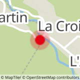
Access
Departure from Pont de la Tassonnière in Seytroux
> access by car from Thonon via the D902, then Pont de la Tassonnière 300 m to the right after the Tines tunnel
> access by shuttle bus: Balad'Aulps Bus stop (valley shuttle) in front of the Saint Jean d'Aulps cemetery, then reach the Tassonnière bridge by the roadside (approx. 300 m).


