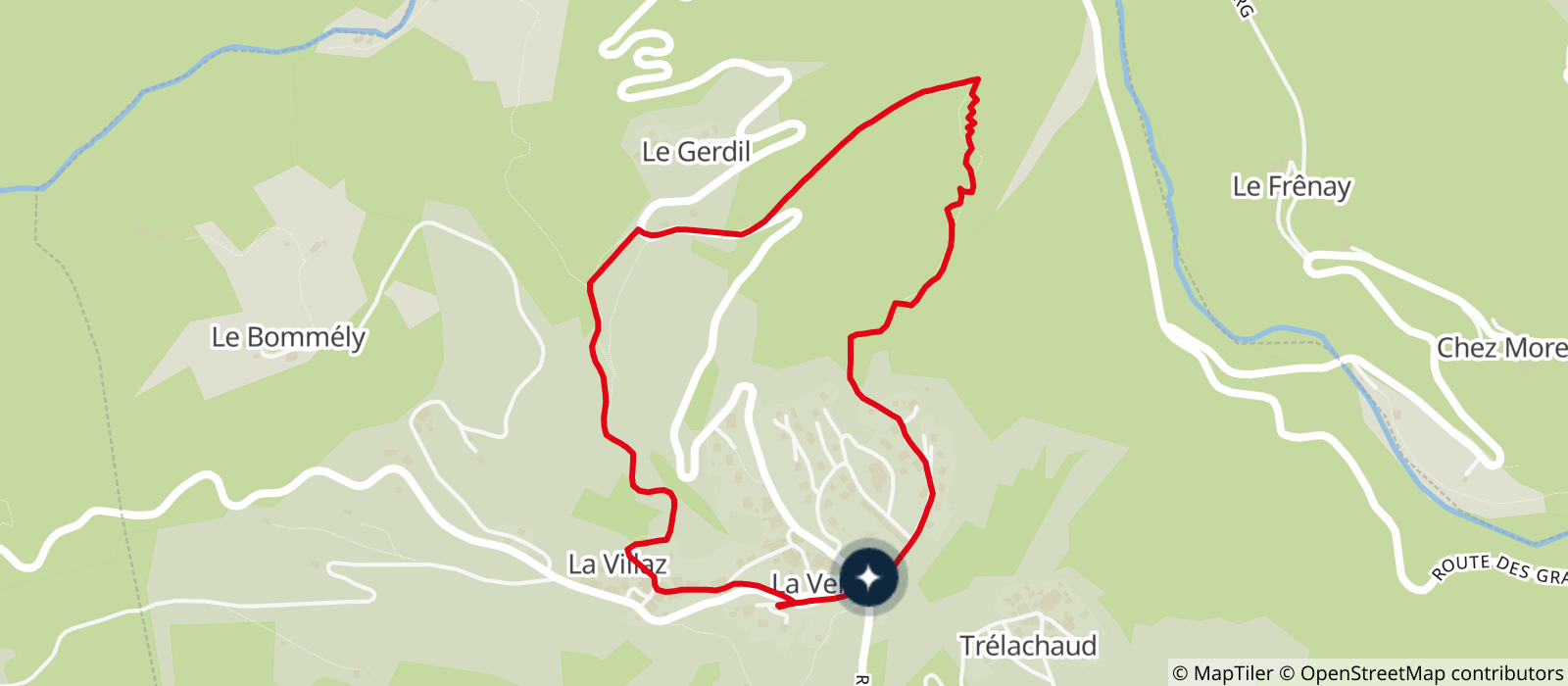
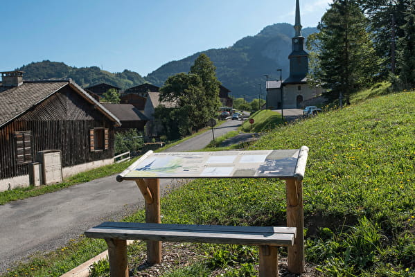
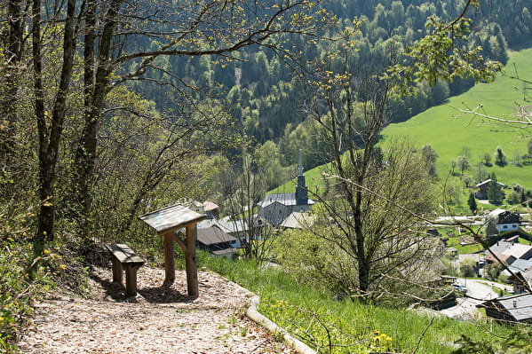
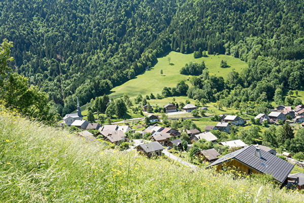
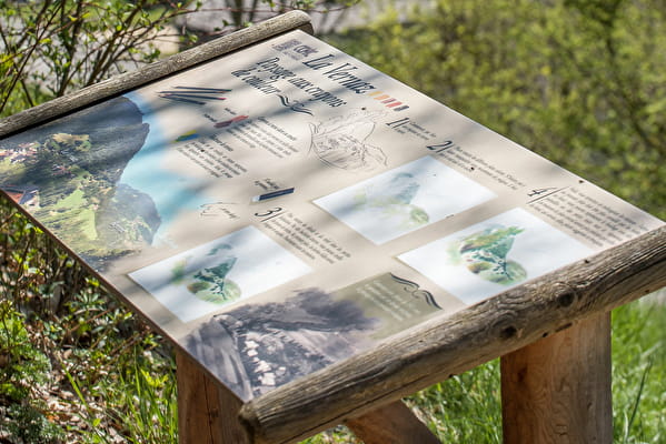
From the car park at La Vernaz town hall (la mairie), set off from the welcome panel showing the route and follow the surfaced road towards Plan de La Chaux. At the end of this road, continue 100 metres until you reach a drawing table. Take your time to draw what a landscape.
Next, go behind the concrete building and head down to your right. On the way, you’ll find information posts explaining how to identify trees and calculate their age. There’s a second drawing table there too!
The track winds through the forest before reaching La Vernaz’s rose marble quarry. Continue along the surfaced road, on the right-hand side, until you reach the big bend before Le Gerdil hamlet, where you should go left. Follow the route across the meadows, continue along the forest edge until you reach a stream, then go through the orchard. Once at La Villaz hamlet (where you can admire the traditional buildings), take the first road up towards the church, where you’ll find the final drawing table so you can draw the church!
- Sport
Walking trail: discovering the village of La Vernaz
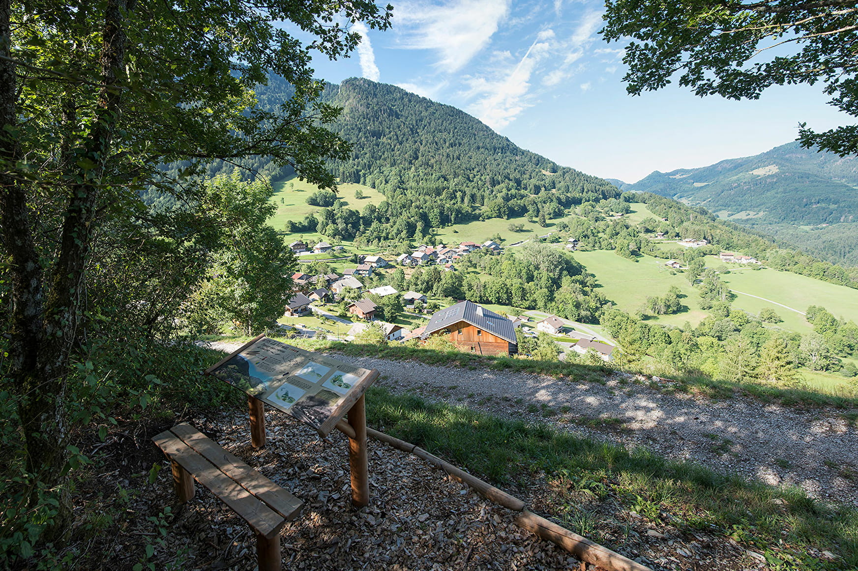
For anyone who likes the great outdoors, walking and drawing, this is an easy outing to do on your own, with friends or family. With tables for reading and drawing provided, you can set off walking and learn to draw as well.

About
Departure from La Vernaz town hall parking lot
1/ Follow the asphalt road up to Plan de La Chaux.
2/ At the end of the asphalt road, continue up the path for 100 meters and you'll come to the drawing table on your right.
3/ Pass behind the concrete building and descend to the right. Continue along the path: a 2nd drawing table awaits you.
4/ The path now winds through the forest to the Vernaz pink marble quarry.
5/ Continue along the asphalt road, following it to the right until the big bend before the hamlet of Gerdil, where you fork left.
6/ Follow the path through the fields, then along the edge of the forest to a small stream before crossing an orchard.
7/ Cross the hamlet of La Villaz until you reach a mazot behind a large farmhouse.
8/ After the mazot, take the track on the right which climbs for about 20 m until you reach the road, which you cross to reach the hamlet just above where the last drawing table is located.
9/ Take the path alongside the church, then cross the road at the crosswalk in front of the war memorial.
10/ Reach the La Vernaz town hall parking lot
Reception
- Choose your route according to your physical condition and the weather conditions.
- Follow the instructions for signposting.
- Don't set off too late in the afternoon, to make sure you're back before dark.
- Take sufficient food and water with you. Mountain sports require a lot of energy.
Animals accepted
Period of practice
Throughout the year : open daily.
- Pets welcome
- Car park
- Free car park
Contacts
Access
Departure point: town hall parking lot
> Access by car from Thonon via the D902 to Le Jotty, then the D22 to the village of La Vernaz.
