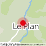
DEPARTURE: parking in front of the chapel. Road access from the village of La Giettaz in Aravis.
ROUTE: From the Plan car park, take the small road then the track towards L'ARMOY (crossing of the Arrondine torrent). At the post level
signage, take the path on your left in the direction of COVAGNET. Once out of the forest, on the edge of the ski slope, go down again on the Plan to reach the starting point.
POINT OF INTEREST: The Chapel of the Plan, which was built by the abbot Jean-Marie Jiguet, from the Plan, helped by the inhabitants of the neighborhood.
- Sport
The Relaxation Trail
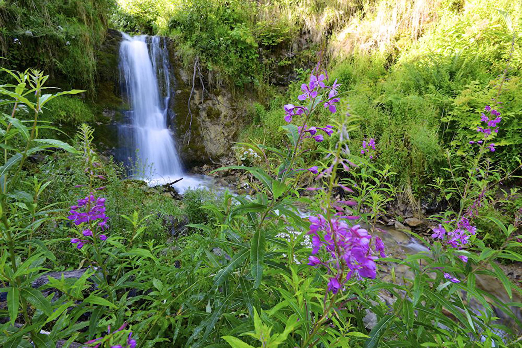
Stroll freshness, mainly in the undergrowth and balcony of the stream of the Arrondine.
Sport The Relaxation Trail La Giettaz
About

Signs
Marked with yellow signs.
Topoguides references
Walking and hiking map of the Val d'Arly for sale at 9 € or Topo Walks and Short hikes on sale at € 4 in the tourist offices.
Further informations
Stone, Ground
Prices
Walking and hiking map of the Val d'Arly for sale at 9 € or Topo Walks and Short hikes on sale at € 4 in the tourist offices
Methods of payment accepted : Check, Cash, Bank/credit card
Reception
Dogs must be on a leash.
Period of practice
From 01/06 to 30/09.
Services
- Pets welcome